Home
Images
Vectors
Videos
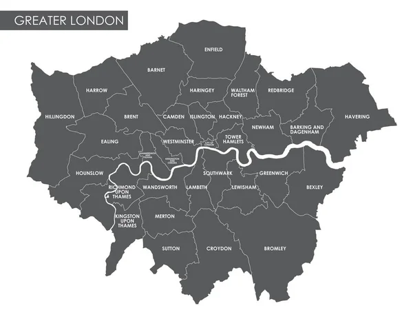
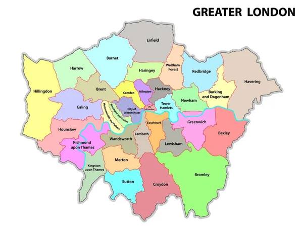
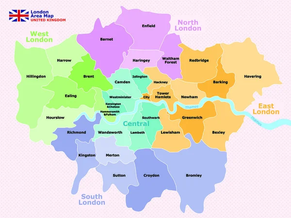
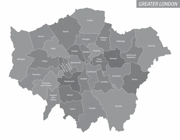
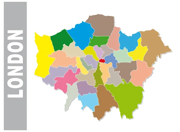
Stock vector Administrative and political map of inner London, Statistical definition
Published:
Jun.26, 2017 15:19:53
Author:
Lesniewski
Views:
158
Downloads:
5
File type:
vector
/
eps
File size:
0.64 MB
Orginal size:
4960
x
3897
px
Available sizes:
S
(500 x 393)
M
(1000 x 786)
L
(2000 x 1571)
XL
(4960 x 3897)
VECT
(4960 x 3897)
EL0
(4960 x 3897)
Level:
bronze
Download Vector
Vector topics:
Graphic
Border
Europe
Outline
Map
Cartography
Geography
Political
Administrative
London
Definition
Statistical
Greater
Mapping
Hackney
Lambeth
Greenwich
Southwark
Camden
Great Britain
United Kingdom
City Of London
City Of Westminster
Kensington And Chelsea
Tower Hamlets
Newham
Wandsworth
Islington
Haringey
Lewisham
Hammersmith And Fulham
Similar stock vectors
Administrative And Political Map Of Inner London, Statutory Definition
4960 × 3897
Vector Greater London Administrative Map
6995 × 5596
Greater London Administrative Map
4764 × 3744
Map Of Administrative Of London.
2400 × 1800
The Greater London Administrative Map With Labels Isolated On White Background
5000 × 3900
Colorful London Administrative And Political Map
4226 × 3100
Vector Map Of Greater London With Main Roads, Uk
3897 × 3100
High Quality Map Of London Is A City In United Kingdom, With Borders Of Districts
4000 × 4000