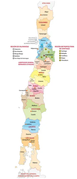
Stock vector Administrative and political map of the central Chilean regions
Published: Jul.09, 2019 11:19:09
Author: Lesniewski
Views: 89
Downloads: 2
File type: vector / eps
File size: 1.29 MB
Orginal size: 3100 x 7199 px
Available sizes:
Level: bronze