Home
Images
Vectors
Videos
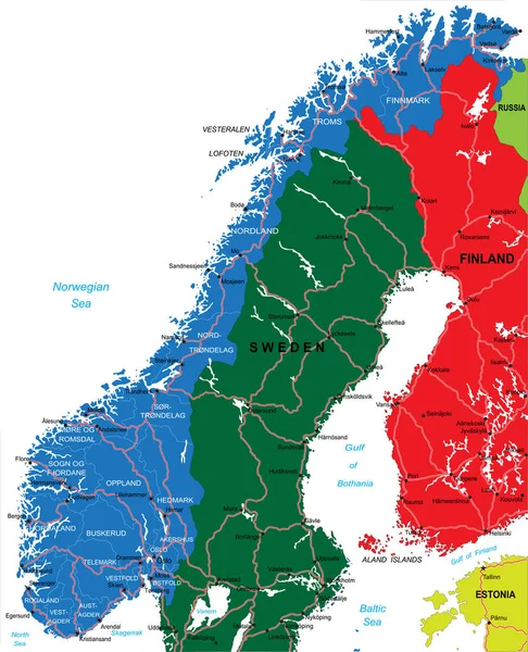
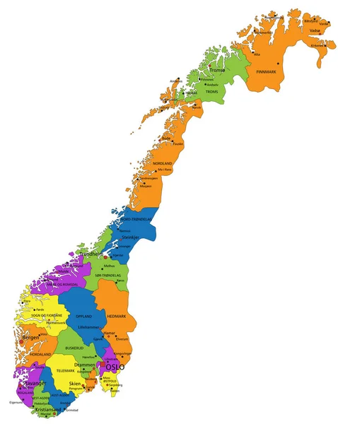
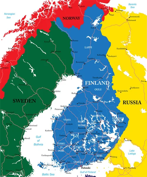
Stock vector Highly detailed vector map of Norway with administrative regions,main cities and roads.
Published:
Jun.30, 2020 08:38:29
Author:
BogdanSerban
Views:
78
Downloads:
0
File type:
vector
/
eps
File size:
2.36 MB
Orginal size:
4055
x
5000
px
Available sizes:
S
(406 x 500)
M
(811 x 1000)
L
(1622 x 2000)
XL
(4055 x 5000)
VECT
(4055 x 5000)
EL0
(4055 x 5000)
Level:
beginner
Download Vector
Vector topics:
Vector
Background
Illustration
Travel
Sea
Border
Stockholm
Sweden
Scandinavia
Europe
Russia
Map
Cartography
Geography
Countries
Baltic
Estonia
Tallin
Finland
Helsinki
Cities
Norway
Oslo
Fjord
Norwegian
Bergen
Molde
Lillehammer
Trondheim
Stavanger
Tromso
Narvik
Hammerfest
Similar stock vectors
Color Political Map Of Northern Europe With Borders Of The Countries. Scandinavia
4000 × 4000
Northern Europe, Subregion And Geoscheme, Political Map. The Islands Offshore From Mainland Northern Europe And Countries Of The Main European Continent. Color Division For Statistical Purposes.
8268 × 6000
Colorful Norway Political Map With Clearly Labeled, Separated Layers. Vector Illustration.
5532 × 6930
Norway Map - Vector Illustration
5500 × 6781
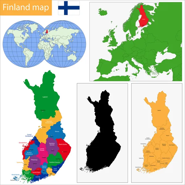
Highly Detailed Vector Map Of Finland With Administrative Regions,main Cities And Roads.
4151 × 5000
Fennoscandia, Fennoscandian Peninsula, Political Map. Peninsula, Comprising The Scandinavian And Kola Peninsulas, Mainland Of Finland, Norway And Sweden, Murmansk Oblast, And The Republic Of Karelia.
6000 × 6000
Highly Detailed Vector Map Of The Baltic States With Administrative Regions,main Cities And Roads.
6814 × 7355
Finland Map
7000 × 7000