Home
Images
Vectors
Videos
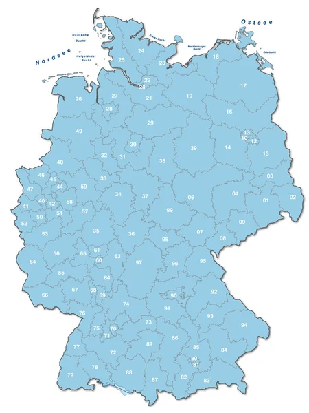
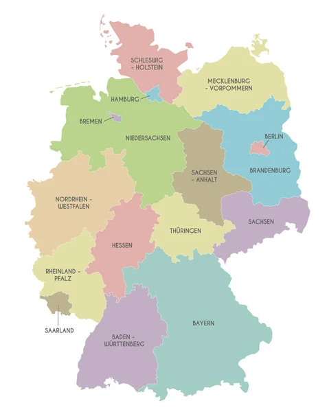
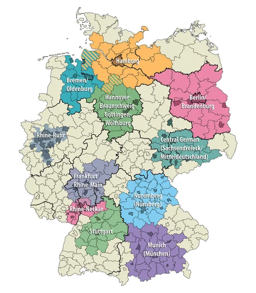
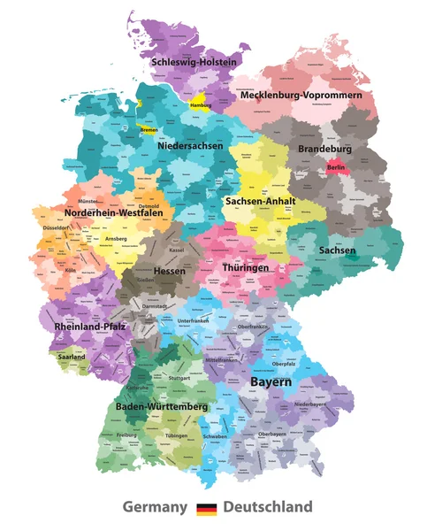
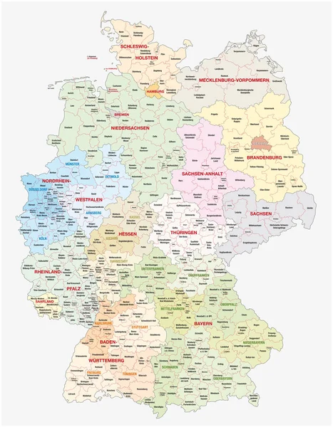
Stock vector administrative and political vector map of Germany, newly revised 2019
Published:
Jan.23, 2019 15:14:13
Author:
Lesniewski
Views:
84
Downloads:
6
File type:
vector
/
eps
File size:
7.63 MB
Orginal size:
6258
x
8029
px
Available sizes:
S
(390 x 500)
M
(779 x 1000)
L
(1559 x 2000)
XL
(6258 x 8029)
VECT
(6258 x 8029)
EL0
(6258 x 8029)
Level:
bronze
Download Vector
Vector topics:
White
Vector
Background
Colorful
Graphic
Illustration
Isolated
New
Travel
Texture
European
Border
Symbol
Concept
City
North
Europe
Outline
Country
German
District
Map
Cartography
Geography
Area
National
Germany
State
Countries
Political
Administrative
Berlin
Cities
Federal
Bavaria
Nation
Lower
Brandenburg
Bremen
Hamburg
Hesse
Saxony
Thuringia
Saarland
Schleswig Holstein
Saxony Anhalt
Rhineland Palatinate
2019
Regierungsbezirk
Similar stock vectors
Map Of The Constituencies Of The German Federal Election, 2017
5924 × 7752
Map Of Germany Thematic In Blue
3576 × 4759
Vector Map Of Germany With Federated States Or Regions And Administrative Divisions. Editable And Clearly Labeled Layers.
4000 × 5000
West European Country Germany And The Federal States
3435 × 4000
Germany Metropolitan Regions Vector Map
7293 × 8334
Germany - Highly Detailed Map
4508 × 5001
Germany Map (colored By States And Administrative Districts) With Subdivisions
5788 × 7188