Home
Images
Vectors
Videos
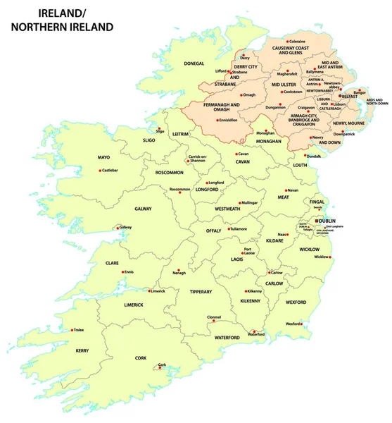
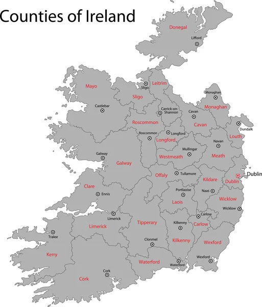
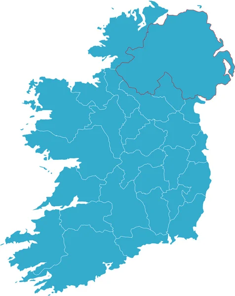
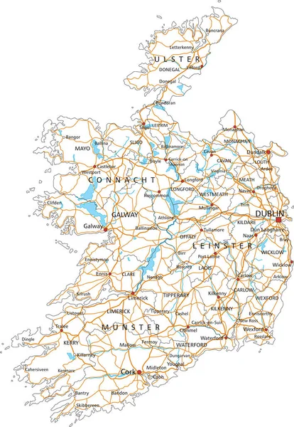
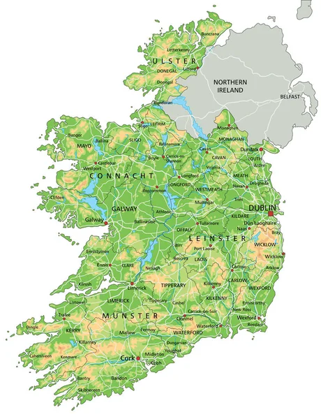
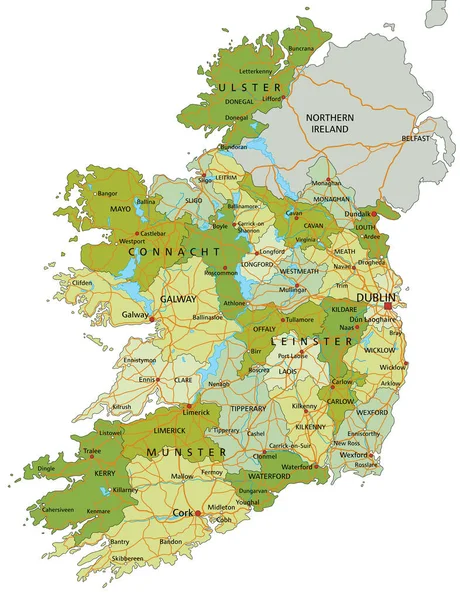
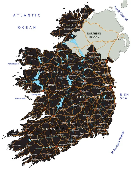
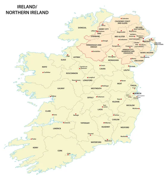
Stock vector administrative map of Ireland and Northern Ireland
Published:
Dec.10, 2019 09:35:06
Author:
Lesniewski
Views:
41
Downloads:
4
File type:
vector
/
eps
File size:
1.97 MB
Orginal size:
4338
x
4663
px
Available sizes:
S
(465 x 500)
M
(930 x 1000)
L
(1861 x 2000)
XL
(4338 x 4663)
VECT
(4338 x 4663)
EL0
(4338 x 4663)
Level:
bronze
Download Vector
Vector topics:
Green
Color
Image
Yellow
Vector
Background
Graphic
Illustration
Design
Isolated
Travel
European
Border
Cork
Capital
Northern
Europe
Country
Map
Cartography
Geography
Ireland
Land
Uk
State
Island
Political
Administrative
Republic
Britain
English
Province
Irish
County
Divisions
Dublin
Mapping
Eire
Galway
Limerick
Regions
Derry
Belfast
Counties
Ulster
United Kingdom
Northern Ireland
Londonderry
Similar stock vectors
Administrative Map Of Ireland And Northern Ireland
3922 × 4000
Ireland Map
5287 × 6174
Map Of Ireland
6625 × 8341
The Detailed Map Of The Ireland With Regions Or States
5000 × 6500
High Detailed Ireland Road Map With Labeling.
3796 × 5492
High Detailed Ireland Physical Map With Labeling.
4353 × 5672
Highly Detailed Editable Political Map With Separated Layers. Ireland.
4353 × 5672
High Detailed Ireland Road Map With Labeling.
4353 × 5672