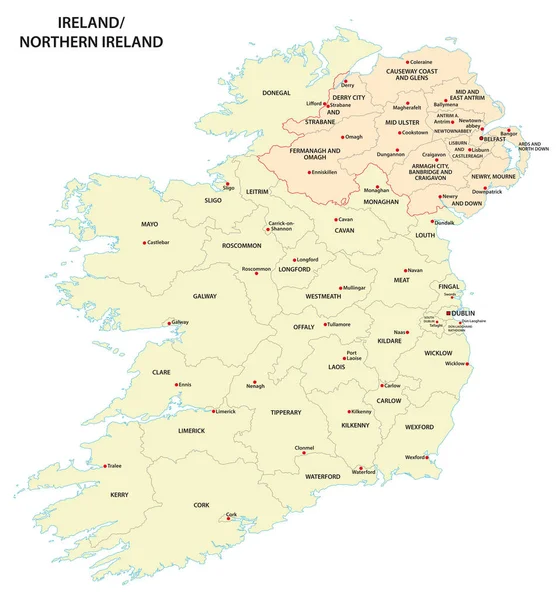
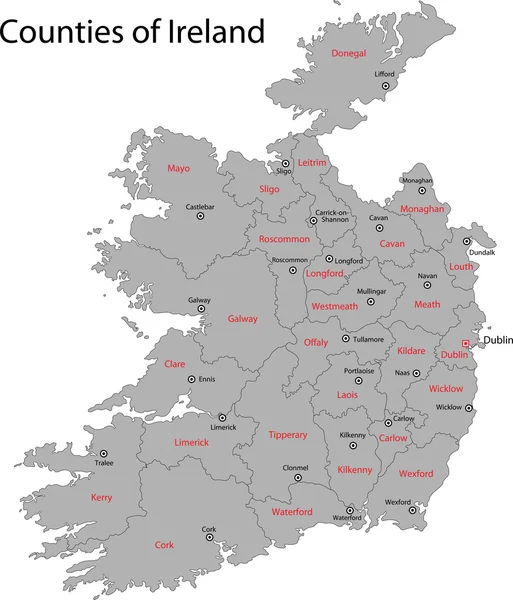
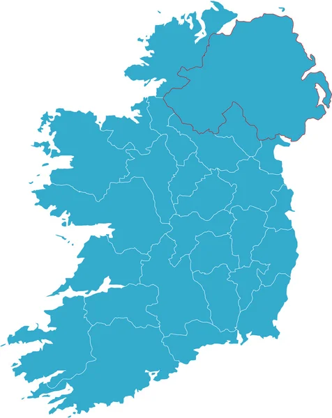
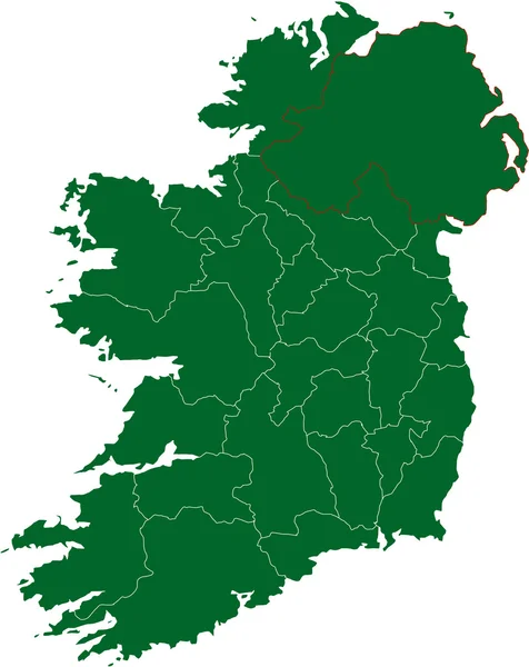
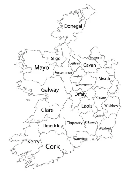
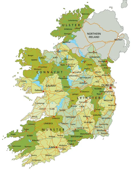
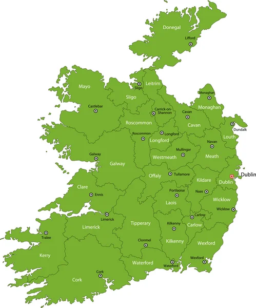
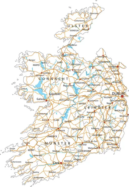
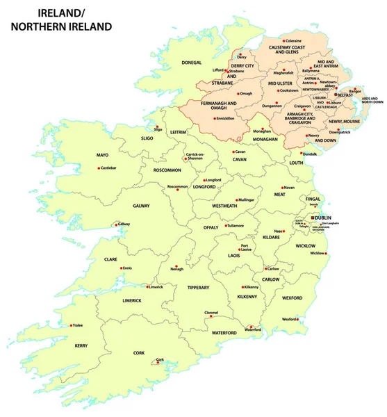
Stock vector administrative map of Ireland and Northern Ireland
Published: Jun.23, 2022 16:23:25
Author: PantherMediaSeller
Views: 3
Downloads: 0
File type: vector / zip
File size: 0 MB
Orginal size: 3922 x 4000 px
Available sizes:
Level: platinum