photo free
Home Images Vectors Videos

Stock vector administrative road map of the metropolitan area of atlanta georgia
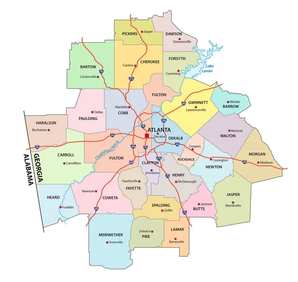
Stock vector administrative road map of the metropolitan area of atlanta georgia
Published: May.21, 2019 08:56:31
Author: Lesniewski
Views: 5
Downloads: 0
File type: vector / eps
File size: 1.1 MB
Orginal size: 3265 x 3100 px
Available sizes:
S
(500 x 475)
M
(1000 x 949)
L
(2000 x 1899)
XL
(3265 x 3100)
VECT
(3265 x 3100)
EL0
(3265 x 3100)
Level: bronze
Download Vector
Vector topics:

Similar stock vectors

stock vector vector map of the Greater Boston metropolitan region, Massachusetts, united states

Vector Map Of The Greater Boston Metropolitan Region, Massachusetts, United States

3990 × 4000
stock vector map of the greater st. louis area in illinois and missouri usa

Map Of The Greater St. Louis Area In Illinois And Missouri Usa

4000 × 3911
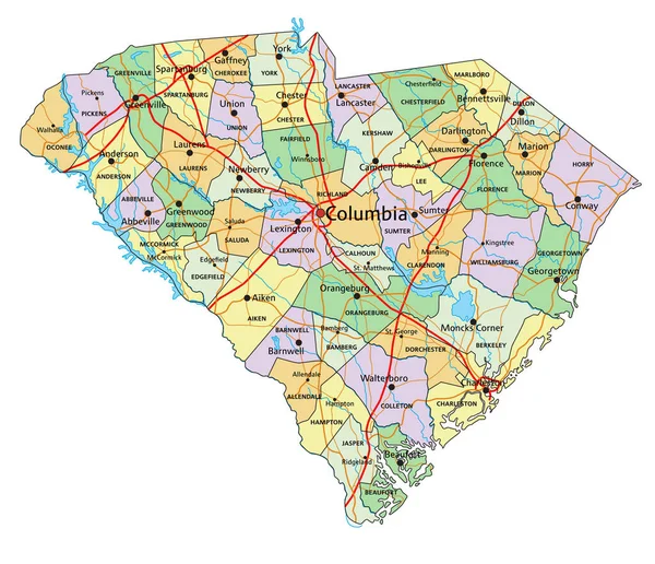
stock vector South Carolina - Highly detailed editable political map with labeling.

South Carolina - Highly Detailed Editable Political Map With Labeling.

4083 × 3511
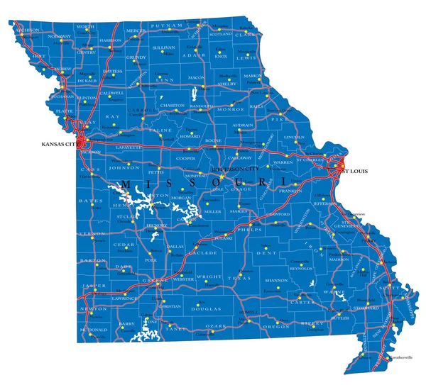
stock vector Detailed map of Missouri state,in vector format,with county borders,roads and major cities

Detailed Map Of Missouri State,in Vector Format,with County Borders,roads And Major Cities

5000 × 4533
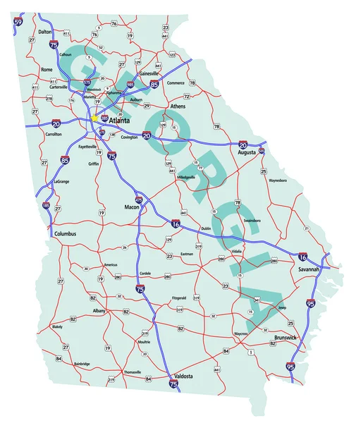
stock vector Georgia State Interstate Map

Georgia State Interstate Map

4212 × 5000
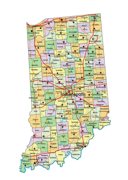
stock vector Indiana - Highly detailed editable political map with labeling.

Indiana - Highly Detailed Editable Political Map With Labeling.

3392 × 4765
stock vector Georgia road and highway map. Vector illustration.

Georgia Road And Highway Map. Vector Illustration.

4485 × 4752