Home
Images
Vectors
Videos
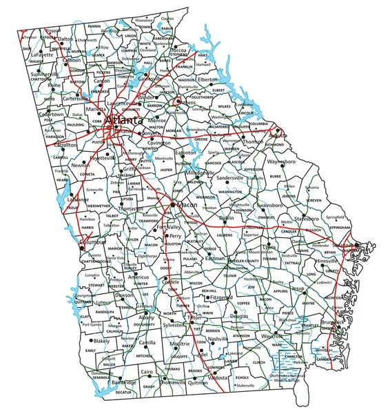
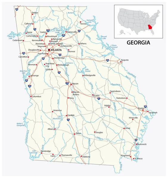
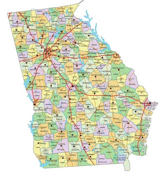
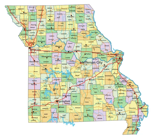
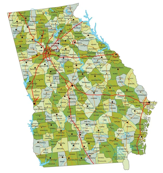
Stock vector Georgia State Interstate Map
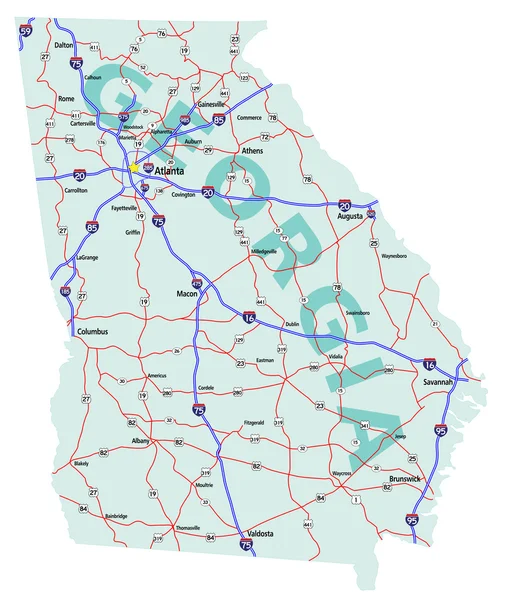
Published:
Mar.19, 2010 15:31:08
Author:
suwanneeredhead
Views:
2190
Downloads:
35
File type:
vector
/
eps
File size:
3.16 MB
Orginal size:
4212
x
5000
px
Available sizes:
S
(421 x 500)
M
(842 x 1000)
L
(1685 x 2000)
XL
(4212 x 5000)
VECT
(4212 x 5000)
EL0
(4212 x 5000)
Level:
bronze
Download Vector
Vector topics:
Vector
On
Illustration
Travel
Detail
Transportation
Road
Elements
City
With
Drawing
Usa
Town
Map
Plan
Trip
Athens
State
Highways
Separate
Guide
Place
Rome
America
Layers
Editing
For
Interstate
Destination
Easy
All
United
Georgia
States
Savannah
Roads
Editable
And
Atlas
Municipality
Columbus
Mileage
Augusta
Atlanta
Valdosta
Interstates
Similar stock vectors
Georgia Road And Highway Map. Vector Illustration.
4485 × 4752
Alabama Interstate Highway Map
2129 × 3038
Highly Detailed Editable Political Map With Separated Layers. Missouri.
4680 × 4248
Road Map Of The US American State Of Georgia
3100 × 3298
Georgia - Highly Detailed Editable Political Map With Labeling.
4485 × 4756
Missouri - Highly Detailed Editable Political Map With Labeling.
4680 × 4248
Administrative Road Map Of The Metropolitan Area Of Atlanta Georgia
3265 × 3100
Highly Detailed Editable Political Map With Separated Layers. Georgia.
4485 × 4753