Home
Images
Vectors
Videos
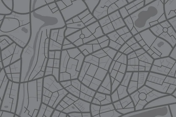
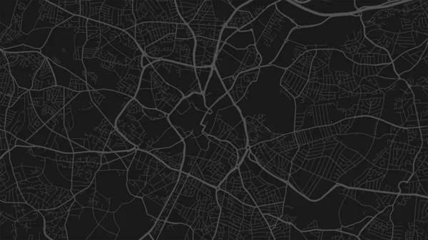
Stock vector Aerial clean top view of the city map with street and river, Blank urban imagination map, GPS map navigator concept, vector illustration
Published:
Aug.16, 2022 16:54:51
Author:
thekaikoroez
Views:
18
Downloads:
2
File type:
vector
/
eps
File size:
0.93 MB
Orginal size:
7250
x
4833
px
Available sizes:
S
(500 x 333)
M
(1000 x 667)
L
(2000 x 1333)
XL
(7250 x 4833)
VECT
(7250 x 4833)
EL0
(7250 x 4833)
Level:
bronze
Download Vector
Vector topics:
Green
Vector
Background
Graphic
Illustration
Shape
Travel
Park
Abstract
Transportation
Travelling
Pattern
Square
Road
Seamless
Gray
River
Symbol
City
Downtown
Urban
Global
Planning
Clean
Information
Street
Town
Navigation
System
Journey
District
Direction
Map
Cartography
Geography
Plan
Navigator
Location
Place
Navigational
Guidance
Crossroad
Gps
Positioning
Municipal
Geographical
Cartographer
City Center
Similar stock vectors
Aerial Clean Top View Of The City Map With Street And River, Blank Urban Imagination Map, GPS Map Navigator Concept, Vector Illustration
7250 × 4833
Grey Textured Geometrical Background
3000 × 3000
Cyan Green Birmingham City Area Vector Background Map, Streets And Water Cartography Illustration. Widescreen Proportion, Digital Flat Design Streetmap.
11112 × 6251
Grey Textured Geometrical Background
3000 × 3000
Abstract City Map. Print With Town Topography. City Residential District Scheme. Vector Illustration
5000 × 5000
Grey Textured Geometrical Background
3000 × 3000
Blue Birmingham City Area Vector Background Map, Streets And Water Cartography Illustration. Widescreen Proportion, Digital Flat Design Streetmap.
11112 × 6251
Black And Dark Grey Birmingham City Area Vector Background Map, Streets And Water Cartography Illustration. Widescreen Proportion, Digital Flat Design Streetmap.
11112 × 6251