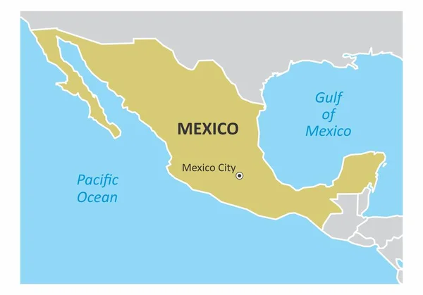
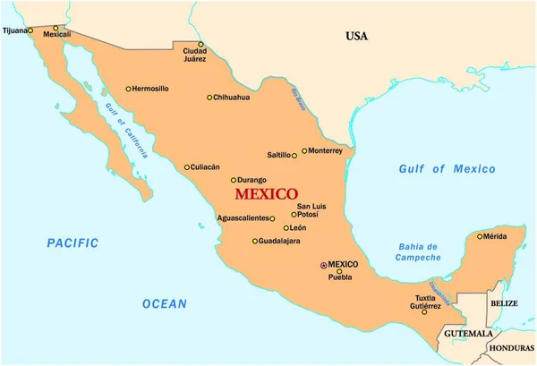
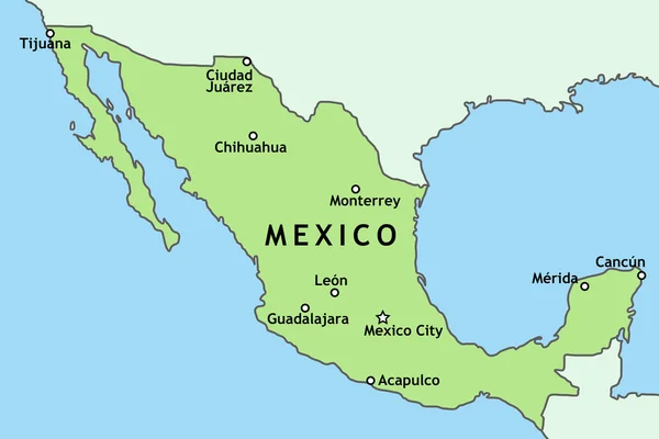
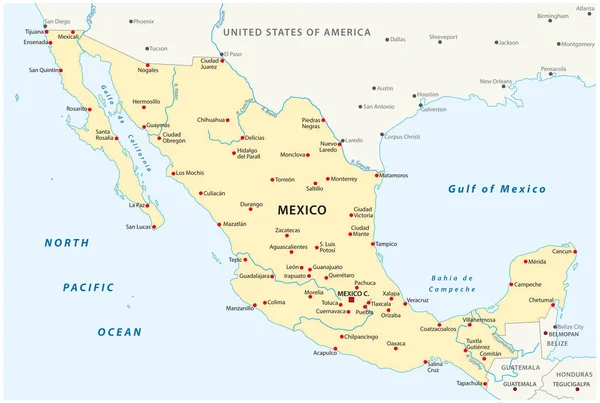
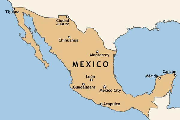
Stock vector An isolated map of Mexico with some of the main cities

Published: Dec.07, 2018 11:38:35
Author: luisrftc
Views: 27
Downloads: 0
File type: vector / eps
File size: 8.36 MB
Orginal size: 5000 x 3500 px
Available sizes:
Level: bronze