photo free
Home Images Vectors Videos

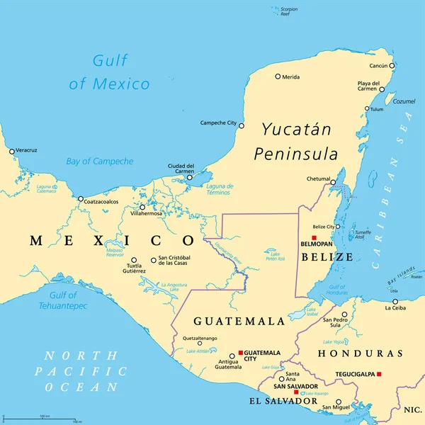
Stock vector Yucatn Peninsula, gray political map. Peninsula in southeastern Mexico and adjectants portions of Belize and Guatemala, separating the Gulf of Mexico and Caribbean Sea. With El Salvador and Honduras.

Stock vector Yucatn Peninsula, gray political map. Peninsula in southeastern Mexico and adjectants portions of Belize and Guatemala, separating the Gulf of Mexico and Caribbean Sea. With El Salvador and Honduras.
Published: Apr.11, 2022 07:46:05
Author: Furian
Views: 11
Downloads: 0
File type: vector / eps
File size: 3.06 MB
Orginal size: 6000 x 6000 px
Available sizes:
S
(500 x 500)
M
(1000 x 1000)
L
(2000 x 2000)
XL
(6000 x 6000)
VECT
(6000 x 6000)
EL0
(6000 x 6000)
Level: silver
Download Vector
Vector topics:

Similar stock vectors

stock vector Yucatan Peninsula political map. Large peninsula in southeastern Mexico and adjectants portions of Belize and Guatemala, separating the Gulf of Mexico and Caribbean Sea. With El Salvador and Honduras.

Yucatan Peninsula Political Map. Large Peninsula In Southeastern Mexico And Adjectants Portions Of Belize And Guatemala, Separating The Gulf Of Mexico And Caribbean Sea. With El Salvador And Honduras.

6000 × 6000
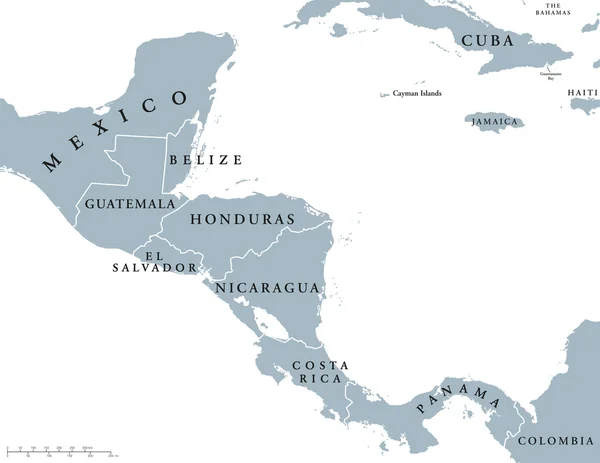
stock vector Central America countries political map

Central America Countries Political Map

7765 × 6000
stock vector Vector illustration - map of United Mexican States

Vector Illustration - Map Of United Mexican States

4275 × 2395
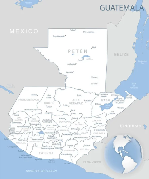
stock vector Blue-gray detailed map of Guatemala administrative divisions and location on the globe. Vector illustration

Blue-gray Detailed Map Of Guatemala Administrative Divisions And Location On The Globe. Vector Illustration

5289 × 6345
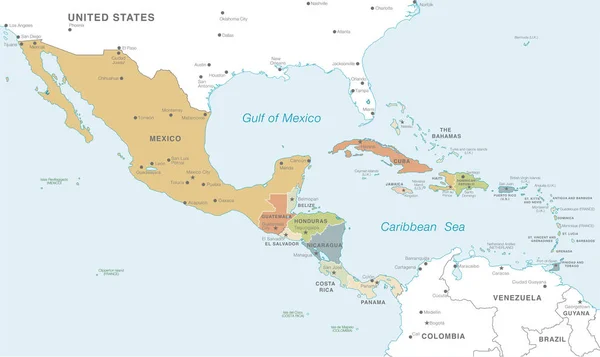
stock vector Vector map of Central America with Countries, Capitals, Main Cities and Seas and islands names in classic soft colors palette.

Vector Map Of Central America With Countries, Capitals, Main Cities And Seas And Islands Names In Classic Soft Colors Palette.

8550 × 5097
stock vector mexico administrative and political vector map.

Mexico Administrative And Political Vector Map.

4898 × 3297
stock vector Vector illustration of map of Mexico

Vector Illustration Of Map Of Mexico

3722 × 2706