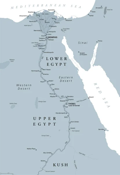
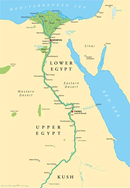
Stock vector Ancient Egypt Map
Published: Aug.18, 2014 07:06:41
Author: Furian
Views: 5879
Downloads: 59
File type: vector / eps
File size: 3.4 MB
Orginal size: 6000 x 8674 px
Available sizes:
Level: silver