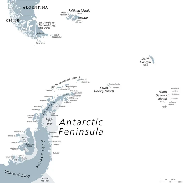
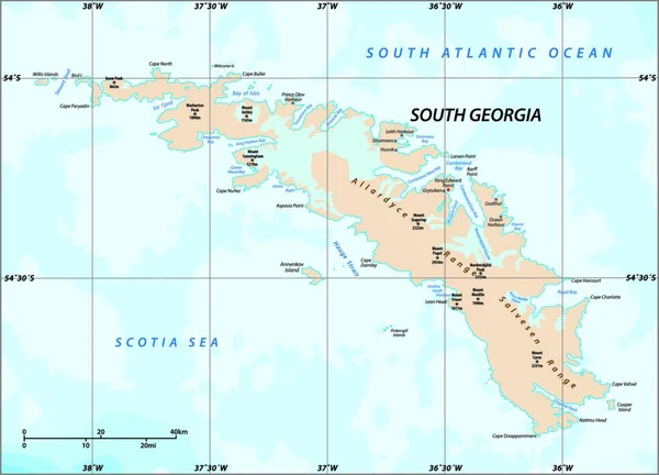
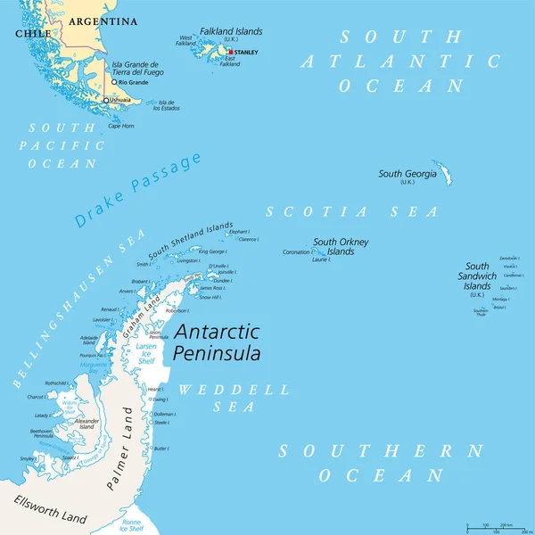
Stock vector Antarctic Peninsula area, political map. From southern Patagonia and Falkland Islands, to South Georgia and the South Sandwich Islands, South Orkney Islands, and Drake Passage, to Antarctic Peninsula.
Published: Apr.20, 2022 14:19:43
Author: Furian
Views: 36
Downloads: 0
File type: vector / eps
File size: 5.31 MB
Orginal size: 6000 x 6000 px
Available sizes:
Level: silver