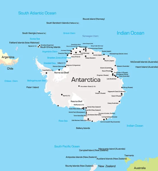
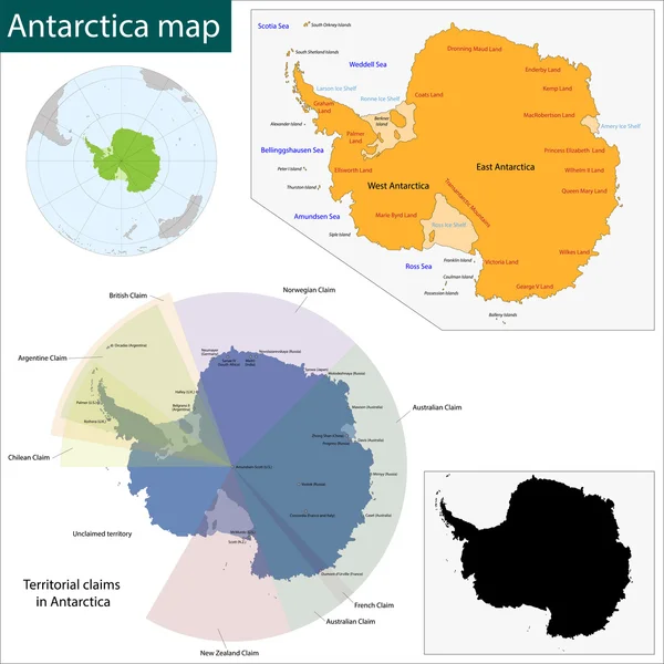
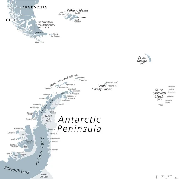
Stock vector Antarctic Region Political Map

Published: May.28, 2015 09:03:58
Author: Furian
Views: 320
Downloads: 8
File type: vector / eps
File size: 1.91 MB
Orginal size: 6000 x 8169 px
Available sizes:
Level: silver