Home
Images
Vectors
Videos
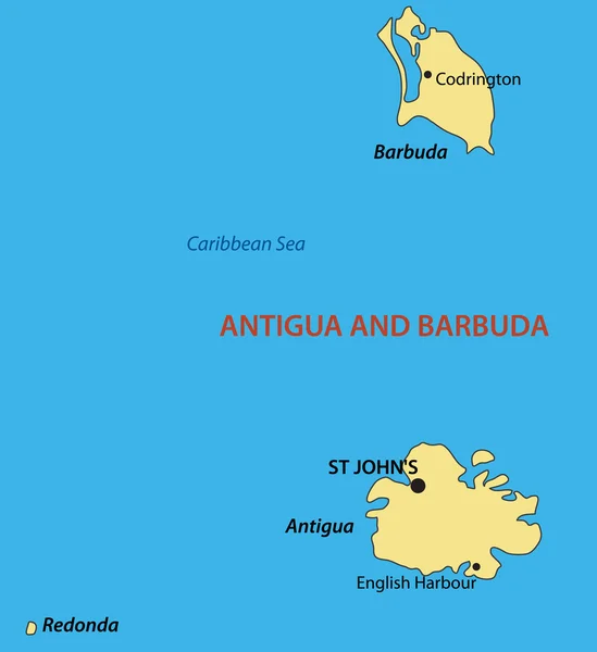
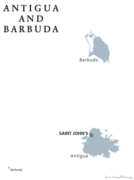
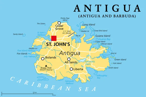
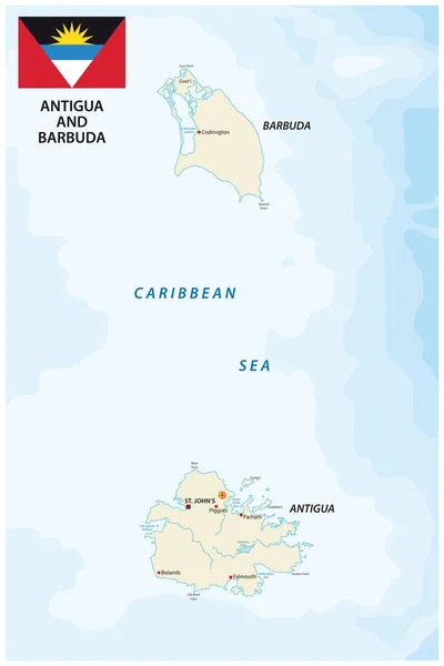
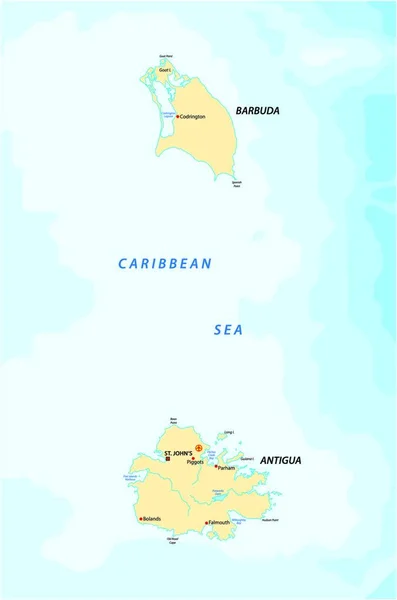
Stock vector Antigua and Barbuda Political Map
Published:
Jun.15, 2015 04:31:24
Author:
Furian
Views:
323
Downloads:
11
File type:
vector
/
eps
File size:
0.55 MB
Orginal size:
6000
x
8129
px
Available sizes:
S
(369 x 500)
M
(738 x 1000)
L
(1476 x 2000)
XL
(6000 x 8129)
VECT
(6000 x 8129)
EL0
(6000 x 8129)
Level:
silver
Download Vector
Vector topics:
Illustration
Travel
Abstract
Coastline
Capital
Cruise
Country
Map
Cartography
Geography
Land
Island
Destination
Caribbean
Atlas
Americas
Aegean
Barbuda
Antigua
Montserrat
Antilles
Tropical Climate
West Indies
Saint Johns
Lesser Antilles
Redonda
Antigua And Barbuda
Leeward Islands
Willikies
Political Map
Cruise Destination
Similar stock vectors
Antigua And Barbuda - Vector Map
3434 × 3750
Antigua And Barbuda Political Map
6916 × 9222
Antigua, Island In The Lesser Antilles, Political Map. One Of The Leeward Islands In The Caribbean Region, And The Most Populous Island Of The Country Of Antigua And Barbuda, With Capital St. Johns.
9000 × 6000
Antigua And Barbuda Vector Map With Flag
3100 × 4647
The Bahamas Map
7000 × 7000
Map Of The Caribbean Islands Antigua And Barbuda
2183 × 3296
Map Of Cayman Brac, An Island In The Cayman Islands, UK
4000 × 3693
Lesser Antilles Political Map
8985 × 6000