photo free
Home Images Vectors Videos

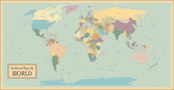
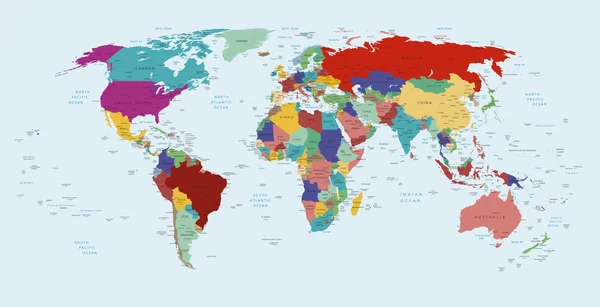
Stock image Political Map

stock image Teenagers participate in a Model UN simulation, engaging in a discussion about global issues.

Teenagers Participate In A Model UN Simulation, Engaging In A Discussion About Global Issues.

Image, 19.66MB, 8256 × 5504 jpg
stock vector World political map

World Political Map

Vector, 16.58MB, 7850 × 4987 eps
stock vector World map in grey color on white background. High detail blank political map. Vector illustration with labeled compound path of each country

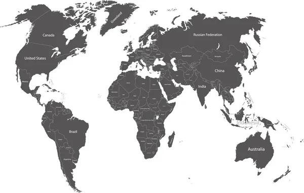
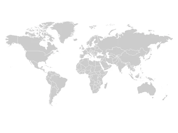
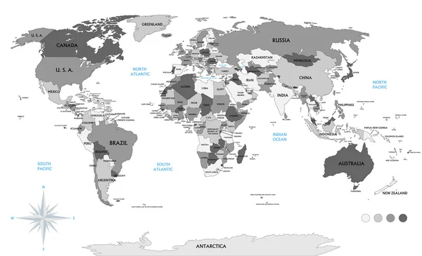
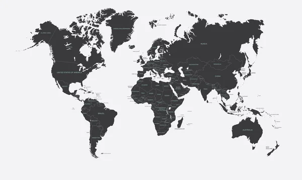
World Map In Grey Color On White Background. High Detail Blank Political Map. Vector Illustration With Labeled Compound Path Of Each Country

Vector, 3.96MB, 8000 × 6000 eps
stock vector World single states political map

World Single States Political Map

Vector, 6.72MB, 11000 × 5649 eps
stock vector Colorful World political map

Colorful World Political Map

Vector, 10.76MB, 3833 × 2439 eps
stock vector Hi Detail Black Vector Political World Map illustration

Hi Detail Black Vector Political World Map Illustration

Vector, 10.4MB, 9000 × 5000 eps
stock vector World map isolated on white background

World Map Isolated On White Background

Vector, 1.52MB, 8000 × 4000 eps
stock vector World map

World Map

Vector, 8.64MB, 10000 × 7065 ai
stock vector World political map card paper 3D natural vector individual states separate

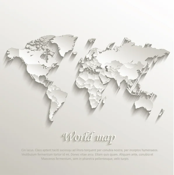
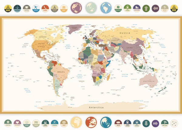
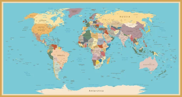
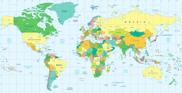
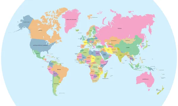
World Political Map Card Paper 3D Natural Vector Individual States Separate

Vector, 13.55MB, 4022 × 4044 eps
stock vector Political World Map with flat icons and globes.Vintage colors

Political World Map With Flat Icons And Globes.Vintage Colors

Vector, 9.1MB, 5866 × 4197 eps
stock vector World Map isolated on retro white color background with labeling

World Map Isolated On Retro White Color Background With Labeling

Vector, 13.24MB, 8178 × 5802 eps
stock vector Detailed Globe Map in Ocean Blue Color Isolated on White Background. Vector Illustration

Detailed Globe Map In Ocean Blue Color Isolated On White Background. Vector Illustration

Vector, 2.31MB, 3632 × 2040 eps
stock vector Political World Map vector illustration isolated on white background with country names in spanish. Editable and clearly labeled layers.

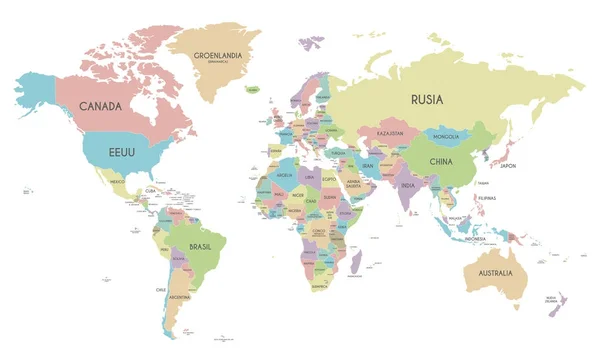
Political World Map Vector Illustration Isolated On White Background With Country Names In Spanish. Editable And Clearly Labeled Layers.

Vector, 8.9MB, 5600 × 3400 eps
stock vector VINTAGE WORLD MAP

VINTAGE WORLD MAP

Vector, 10.55MB, 8192 × 4391 eps
stock vector World Map Vintage Political - Vector Illustration

World Map Vintage Political - Vector Illustration

Vector, 39.88MB, 6001 × 3669 eps
stock vector Political World Map with navigation icons

Political World Map With Navigation Icons

Vector, 8.61MB, 7917 × 4842 eps
stock vector Political world map on white background, with every state labeled and selectable (labeled in Layers panel also). Versatile file, turn on an off visibility and color of each country in one click.

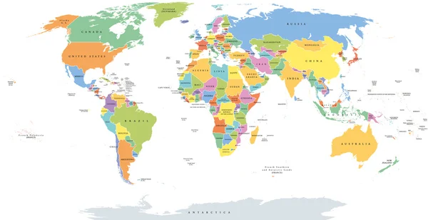
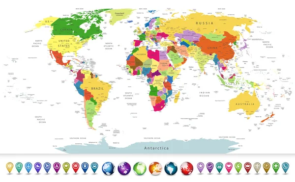
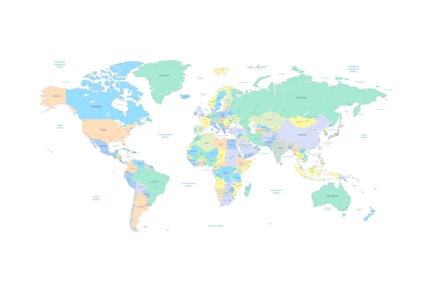
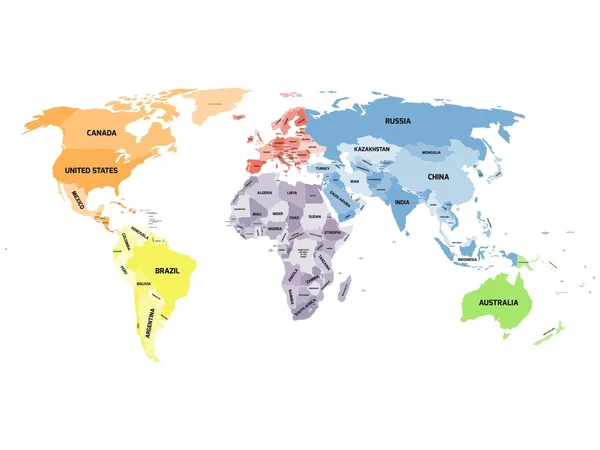
Political World Map On White Background, With Every State Labeled And Selectable (labeled In Layers Panel Also). Versatile File, Turn On An Off Visibility And Color Of Each Country In One Click.

Vector, 9MB, 6349 × 3869 eps
stock vector Highly detailed political world map with a glossy navigation set

Highly Detailed Political World Map With A Glossy Navigation Set

Vector, 13.96MB, 5734 × 3548 eps
stock vector High Detail World map.

High Detail World Map.

Vector, 20.72MB, 5001 × 2604 eps
stock vector World map with countries and cities listed in Russian. With the seas and oceans. Vector illustration. High Detail World map. All elements are separated in editable layers clearly labeled. Vector

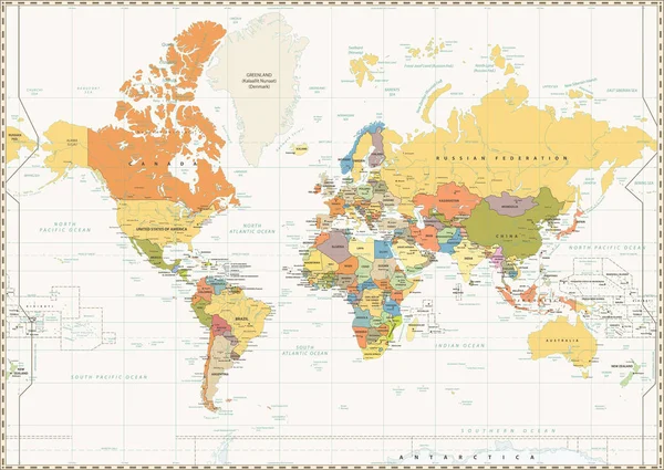
World Map With Countries And Cities Listed In Russian. With The Seas And Oceans. Vector Illustration. High Detail World Map. All Elements Are Separated In Editable Layers Clearly Labeled. Vector

Vector, 5.04MB, 5208 × 3472 eps
stock vector Russia map

Russia Map

Vector, 0.55MB, 5417 × 5417 eps
stock vector Blue vector world map complete with all countries and capital cities names.

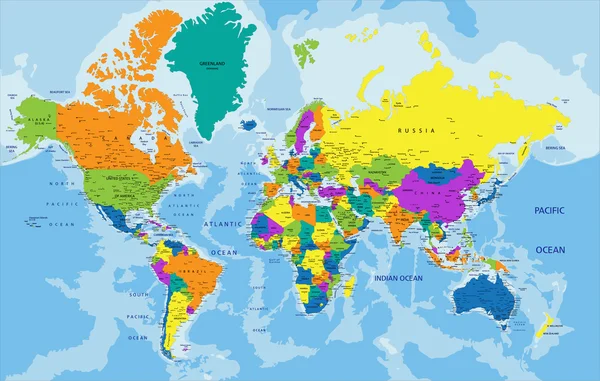
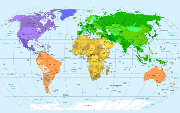
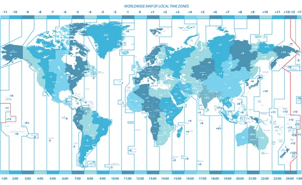
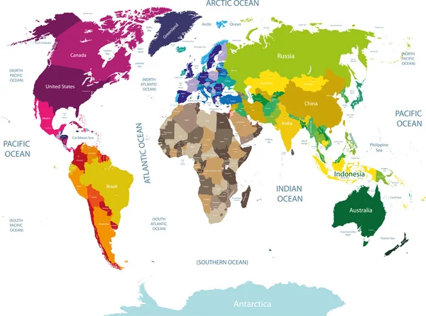
Blue Vector World Map Complete With All Countries And Capital Cities Names.

Vector, 7.96MB, 5795 × 3716 eps
stock vector Colorful political map of World

Colorful Political Map Of World

Vector, 4.47MB, 8000 × 4000 eps
stock vector Vector map of European Continent with Countries, Capitals, Main Cities and Seas and islands names in strong brilliant colors.

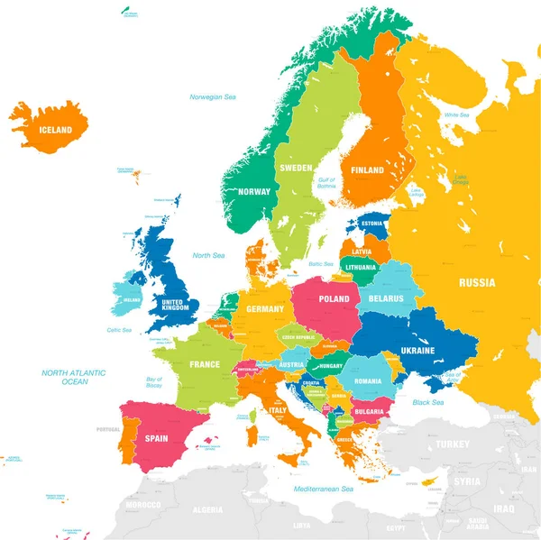
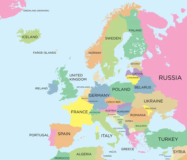
Vector Map Of European Continent With Countries, Capitals, Main Cities And Seas And Islands Names In Strong Brilliant Colors.

Vector, 5.35MB, 6738 × 6734 eps
stock vector World Map

World Map

Vector, 21.66MB, 3800 × 2400 eps
stock vector Russia maps with markers

Russia Maps With Markers

Vector, 11.16MB, 4063 × 5825 eps
stock vector Political world blue map and vector illustration

Political World Blue Map And Vector Illustration

Vector, 2.35MB, 4861 × 3668 eps
stock vector World Map in Typography word cloud

World Map In Typography Word Cloud

Vector, 4.12MB, 5000 × 3750 eps
stock vector Political map of the world

Political Map Of The World

Vector, 8.65MB, 7335 × 3765 eps
stock vector vector high detailed world map

Vector High Detailed World Map

Vector, 11.89MB, 7292 × 3962 eps
stock vector soft tints of blue worldwide map of local time zones

Soft Tints Of Blue Worldwide Map Of Local Time Zones

Vector, 13.69MB, 7269 × 4478 eps
stock vector High Detail World map

High Detail World Map

Vector, 19.44MB, 5001 × 2526 eps
stock vector Detailed Political World map

Detailed Political World Map

Vector, 9.15MB, 8192 × 4191 eps
stock vector political world map

Political World Map

Vector, 5.82MB, 9117 × 5001 eps
stock vector colored world map with country names

Colored World Map With Country Names

Vector, 14.27MB, 10417 × 7728 eps
stock vector Political world map on white background.

Political World Map On White Background.

Vector, 0.74MB, 8000 × 6000 eps
stock vector Coloured political map of the world vector

Coloured Political Map Of The World Vector

Vector, 3.48MB, 6299 × 3763 eps
stock vector Black and white political map of the world vector

Black And White Political Map Of The World Vector

Vector, 10.11MB, 6299 × 3763 eps
stock vector Political world map and geo tag pin pointers marker vector illustration

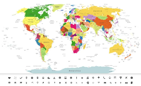
Political World Map And Geo Tag Pin Pointers Marker Vector Illustration

Vector, 9.27MB, 5500 × 5500 eps
stock vector World map in blue color on white background. High detail blank political map. Vector illustration with labeled compound path of each country

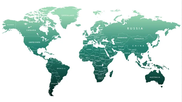
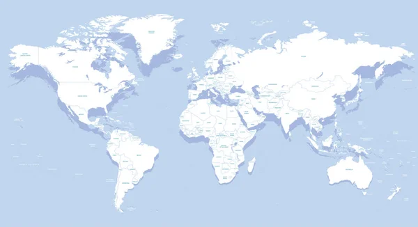
World Map In Blue Color On White Background. High Detail Blank Political Map. Vector Illustration With Labeled Compound Path Of Each Country

Vector, 3.97MB, 8000 × 6000 eps
stock vector Political map of world with Antarctica. Countries in four different colors without borders on white background. Black labels of states and significant dependent territories names. High detail vector

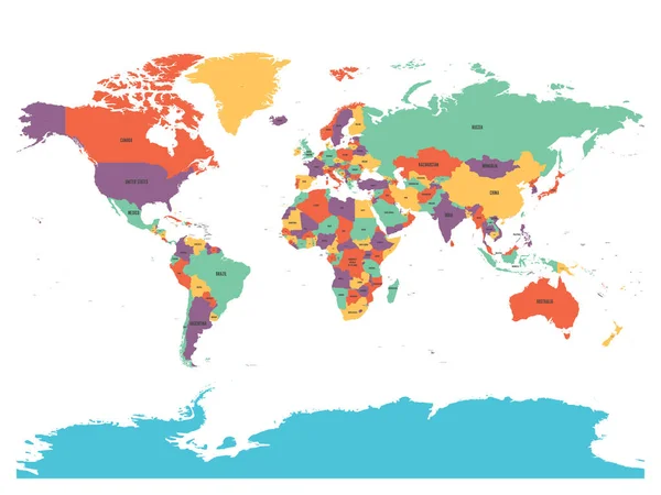
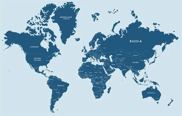
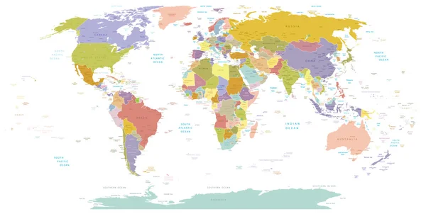
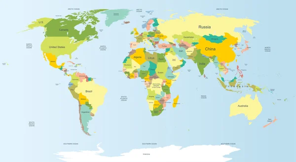
Political Map Of World With Antarctica. Countries In Four Different Colors Without Borders On White Background. Black Labels Of States And Significant Dependent Territories Names. High Detail Vector

Vector, 4.49MB, 6000 × 4500 eps
stock vector Blank political world map

Blank Political World Map

Vector, 0.15MB, 12000 × 9000 eps
stock vector Political map of World

Political Map Of World

Vector, 0.71MB, 12000 × 6000 eps
stock vector Coloured political map of Europe

Coloured Political Map Of Europe

Vector, 1.77MB, 6299 × 5391 eps
stock vector World map

World Map

Vector, 20.87MB, 7528 × 5762 eps
stock vector political map of the world

Political Map Of The World

Vector, 2.35MB, 4567 × 3465 eps
stock vector political world map on soft blue background

Political World Map On Soft Blue Background

Vector, 11.17MB, 7278 × 4868 eps
stock vector Infographic vector illustration with Map of the World

Infographic Vector Illustration With Map Of The World

Vector, 12.76MB, 6250 × 5297 eps
stock vector soft blue gradient political world map

Soft Blue Gradient Political World Map

Vector, 14.72MB, 7292 × 4854 eps
stock vector vector color worldwide map of local time zones

Vector Color Worldwide Map Of Local Time Zones

Vector, 13.57MB, 7292 × 4500 eps
Page 1 >> Next