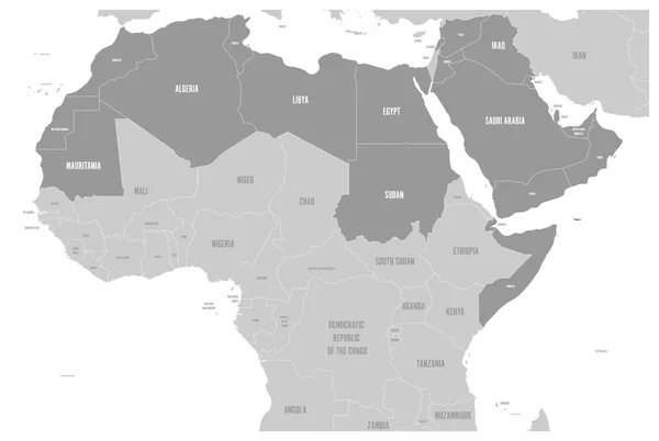
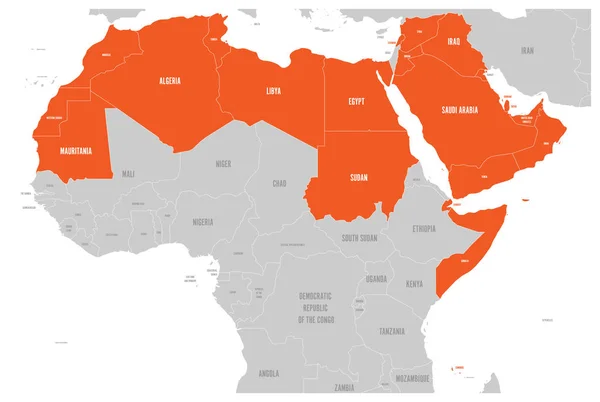
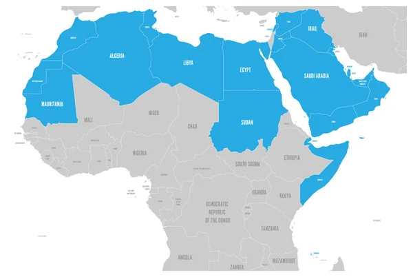
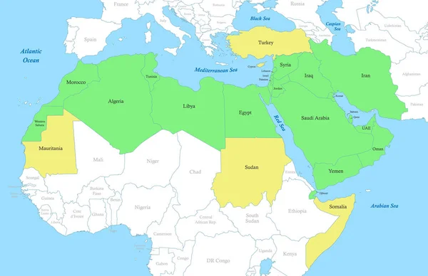
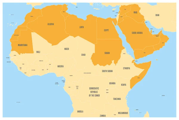
Stock vector Arab World states political map with orange higlighted 22 arabic-speaking countries of the Arab League. Northern Africa and Middle East region. Vector map with blue water and yellow lands
Published: May.30, 2017 14:41:15
Author: pyty
Views: 853
Downloads: 3
File type: vector / eps
File size: 2.74 MB
Orginal size: 6001 x 4030 px
Available sizes:
Level: silver