Home
Images
Vectors
Videos
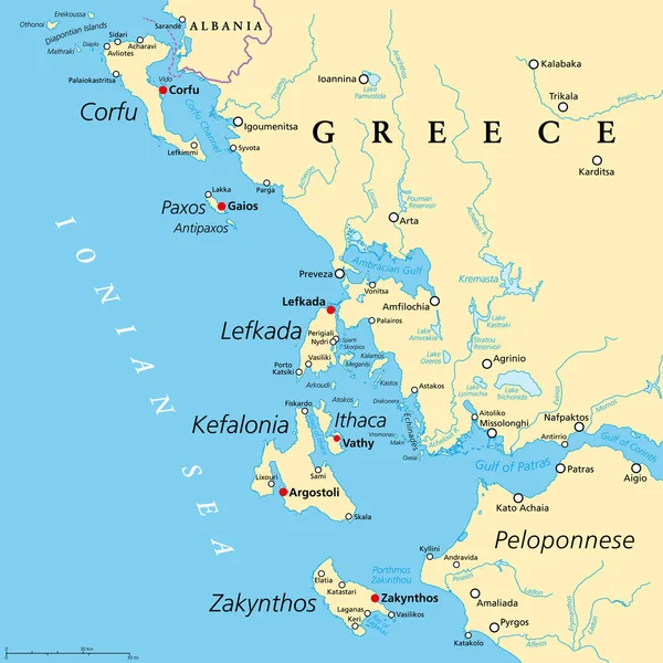
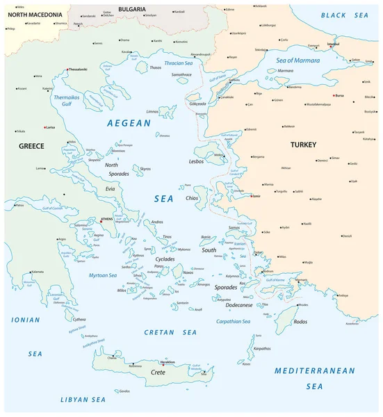
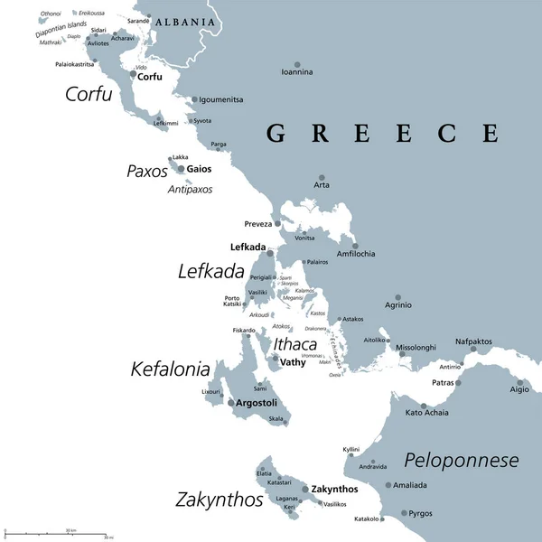
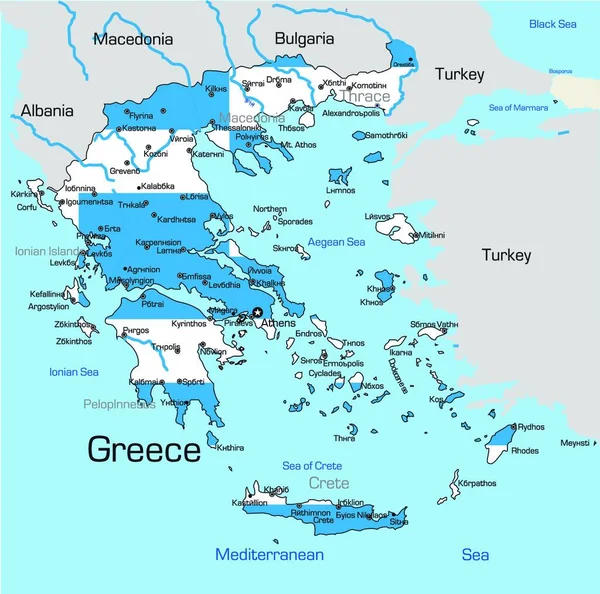
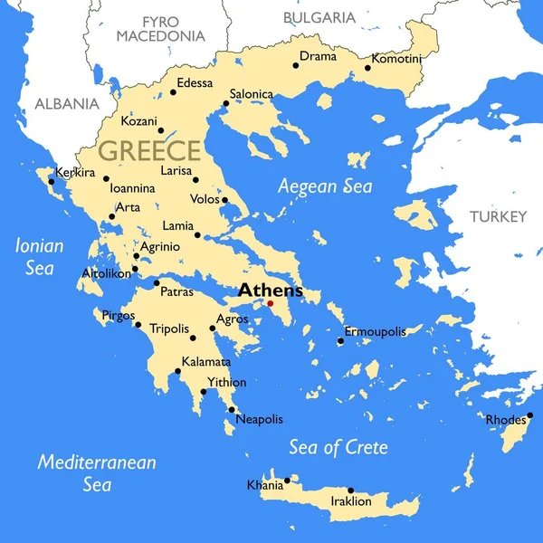
Stock vector Argo-Saronic Gulf, Saronic and Argolic Gulf of Greece, political map. The peninsulas of Attica and Argolis, the Argo-Saronic Islands, Isthmus of Corinth, Corinth Canal and the Greek capital Athens.
Published:
May.02, 2024 13:47:02
Author:
Furian
Views:
0
Downloads:
0
File type:
vector
/
eps
File size:
4.47 MB
Orginal size:
6000
x
6000
px
Available sizes:
S
(500 x 500)
M
(1000 x 1000)
L
(2000 x 2000)
XL
(6000 x 6000)
VECT
(6000 x 6000)
EL0
(6000 x 6000)
Level:
silver
Download Vector
Vector topics:
Vector
Illustration
Travel
Bay
Capital
Europe
Sailing
Country
Map
Cartography
Geography
Area
Greek
Overview
Athens
Greece
Island
Destination
Region
Atlas
Peninsula
Attic
Peloponnese
Attica
Hydra
Corinth
Isthmus
Aegina
Poros
Piraeus
Salamina
Salamis
Spetses
Infographic
Corinth Canal
Aegean Sea
Argolis
Idra
Argolic Gulf
Saronic Gulf
Political Map
Agistri
Saronic Islands
Megara
Gulf Of Corinth
Corinth Channel
Attic Peninsula
Alcyonides
Argo Saronic Gulf
Similar stock vectors
Ionian Islands Region Of Greece, Political Map. Greek Group Of Islands In The Ionian Sea. Corfu (Kerkyra), Paxos And Antipaxos, Lefkada, Kefalonia (Cephalonia), Ithaca (Ithaki), And Zakynthos (Zante).
6000 × 6000
Map Of The Aegean Sea, Part Of The Mediterranean Between Greece And Turkey
2337 × 2544
Ionian Islands Region Of Greece, Gray Political Map. Greek Island Group In The Ionian Sea. Corfu (Kerkyra), Paxos And Antipaxos, Lefkada, Kefalonia (Cephalonia), Ithaca (Ithaki) And Zakynthos (Zante).
6000 × 6000
Illustration Map Of Greece
5000 × 4951
Greece Map | Vector Detailed Color Greece Map
9000 × 9000
Vector Road Map Of The Ionian Island Korfu, Greece
3330 × 3702
Greece Map - Vintage Detailed Vector Illustration
5500 × 5923
Highly Detailed Physical Map Of Greece,in Vector Format,with All The Relief Forms,regions And Big Cities.
4095 × 5000