Home
Images
Vectors
Videos
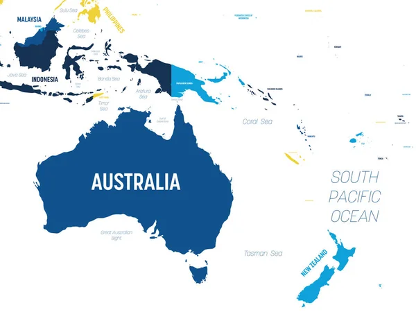
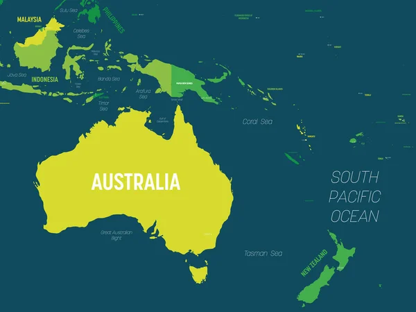
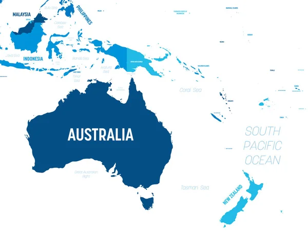
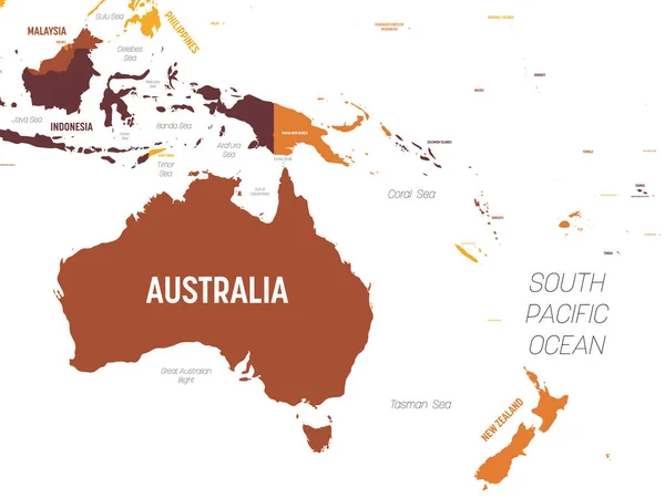
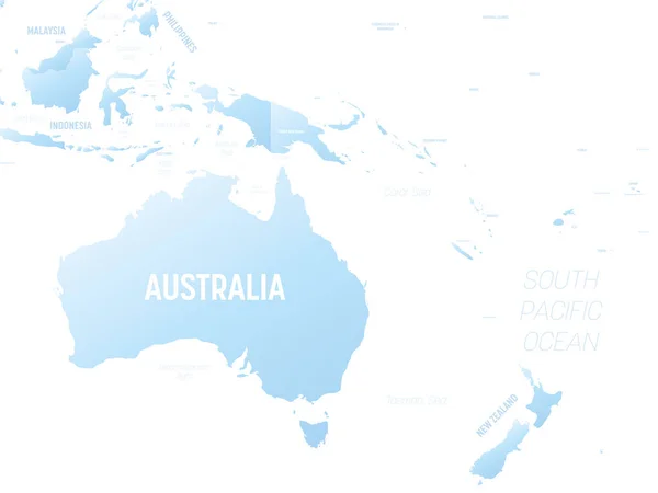
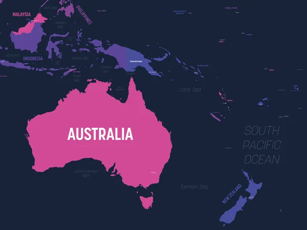
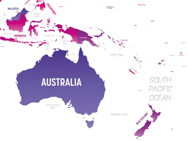
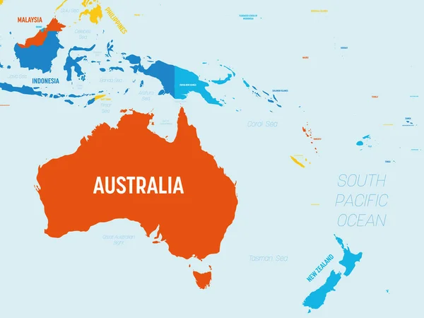
Stock vector Australia and Oceania map - 4 bright color scheme. High detailed political map of australian and pacific region with country, ocean and sea names labeling
Published:
Oct.15, 2020 11:45:09
Author:
pyty
Views:
23
Downloads:
0
File type:
vector
/
eps
File size:
1.46 MB
Orginal size:
6000
x
4500
px
Available sizes:
S
(500 x 375)
M
(1000 x 750)
L
(2000 x 1500)
XL
(6000 x 4500)
VECT
(6000 x 4500)
EL0
(6000 x 4500)
Level:
silver
Download Vector
Vector topics:
Red
Yellow
Blue
Vector
Colorful
Design
Isolated
Business
Labeling
Label
Travel
Detail
Water
Orange
Sea
Border
Information
Education
World
Template
Ocean
Detailed
Shade
Name
Country
Map
Cartography
Geography
Pacific
Continent
State
Countries
International
Australia
Political
Hue
Oceania
Atlas
Oceans
Polynesia
Geographical
Australian
Tasmania
Micronesia
Labeled
Infographic
Capital City
Political Map
New Zaeland
Similar stock vectors
Australia And Oceania Map - Brown Orange Hue Colored On Dark Background. High Detailed Political Map Of Australian And Pacific Region With Country, Ocean And Sea Names Labeling
6000 × 4500
Australia And Oceania Map - Green Hue Colored On Dark Background. High Detailed Political Map Of Australian And Pacific Region With Country, Capital, Ocean And Sea Names Labeling
6000 × 4500
Australia And Oceania Map - Green Hue Colored On Dark Background. High Detailed Political Map Of Australian And Pacific Region With Country, Capital, Ocean And Sea Names Labeling
6000 × 4500
Australia And Oceania Detailed Political Map With Lables
8000 × 6000
Australia And Oceania Map - Brown Orange Hue Colored On Dark Background. High Detailed Political Map Of Australian And Pacific Region With Country, Ocean And Sea Names Labeling
6000 × 4500
Australia And Oceania - High Detailed Political Map Of Australian And Pacific Region With Country, Ocean And Sea Names Labeling.
8000 × 6000
Australia And Oceania Map. High Detailed Political Map Of Australian And Pacific Region With Country, Capital, Ocean And Sea Names Labeling
6000 × 4500
Australia And Oceania Detailed Political Map With Lables
8000 × 6000