Home
Images
Vectors
Videos
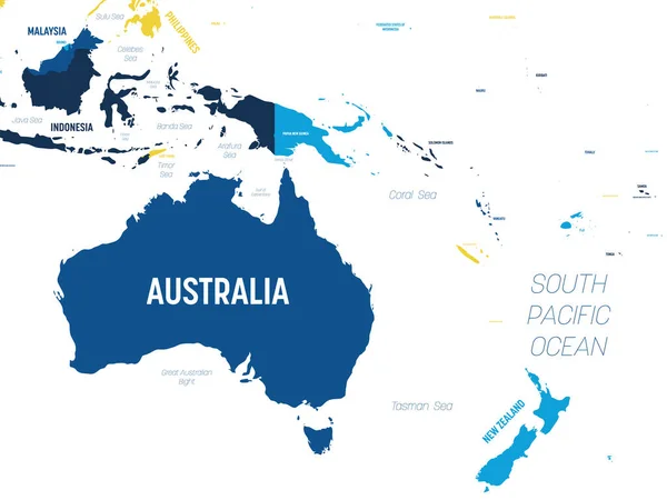
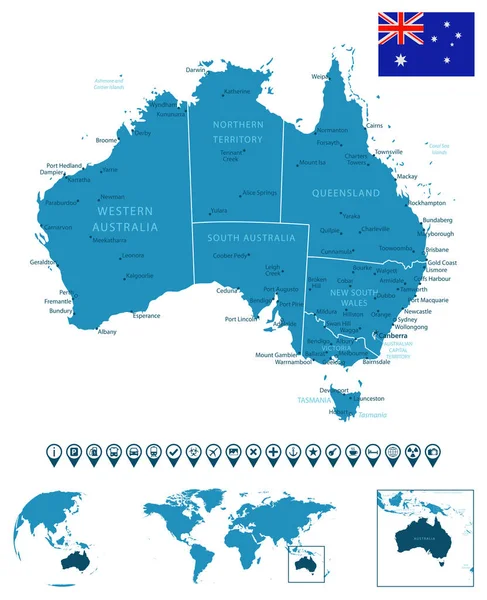
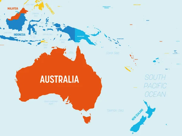
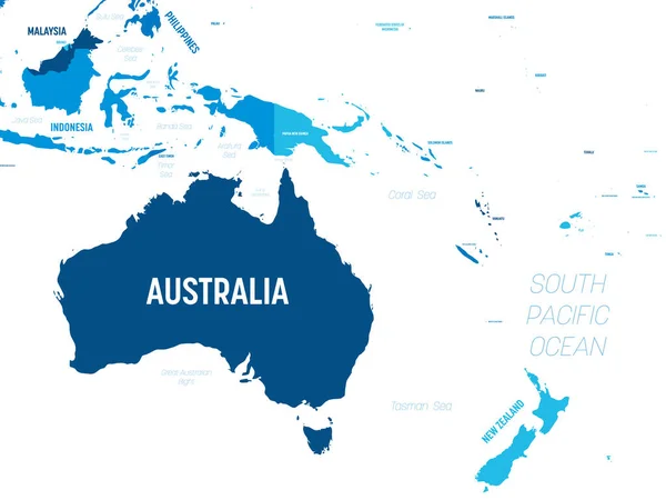
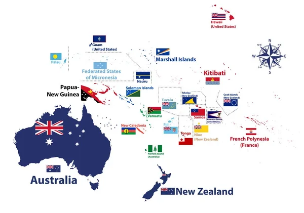
Stock vector Australia and Oceania region vector high detailed map with countries names and national flags
Published:
Jan.22, 2018 12:03:56
Author:
Jktu_21
Views:
1278
Downloads:
7
File type:
vector
/
eps
File size:
7.35 MB
Orginal size:
8334
x
5852
px
Available sizes:
S
(500 x 351)
M
(1000 x 702)
L
(2000 x 1404)
XL
(8334 x 5852)
VECT
(8334 x 5852)
EL0
(8334 x 5852)
Level:
silver
Download Vector
Vector topics:
Vector
Background
Illustration
Travel
Flag
World
Tourism
Country
Compass
Map
Cartography
Geography
National
Hawaii
Asia
Australia
Region
Polynesia
Guam
Fiji
Tonga
Melanesia
Micronesia
Kiribati
Nauru
Palau
Samoa
Vanuatu
Niue
New Zealand
Solomon Islands
Papua New Guinea
Marshall Islands
NEW CALEDONIA
American Samoa
Federated States Of Micronesia
Oceania Map
Tualu
Similar stock vectors
Australia And Oceania Map - Brown Orange Hue Colored On Dark Background. High Detailed Political Map Of Australian And Pacific Region With Country, Ocean And Sea Names Labeling
6000 × 4500
Australia Map On A World Map With Flag And Map Pointer. Vector Illustration
4167 × 4167
Australia - Detailed Blue Country Map With Cities, Regions, Location On World Map And Globe. Infographic Icons. Vector Illustration
5648 × 6947
Vector Map Of Australia, Oceania And South East Asian Countries Mixed With Their National Flags
7292 × 5337
Flag Illustration Inside The Shape Of A World Map Of The Country
3750 × 2500
Australia And Oceania Detailed Political Map With Lables
8000 × 6000
Australia And Oceania Map - 4 Bright Color Scheme. High Detailed Political Map Of Australian And Pacific Region With Country, Ocean And Sea Names Labeling
6000 × 4500
Australia And Oceania Map - Green Hue Colored On Dark Background. High Detailed Political Map Of Australian And Pacific Region With Country, Capital, Ocean And Sea Names Labeling
6000 × 4500