Home
Images
Vectors
Videos
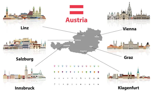
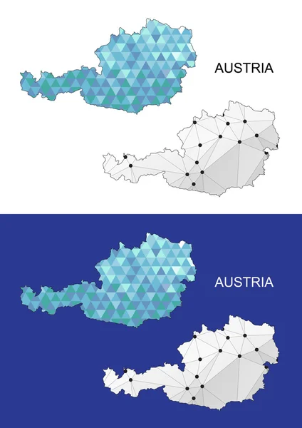
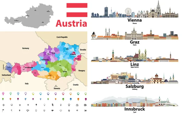
Stock vector Austria map colored by states showing districts boundaries, with neighbouring countries. Austrian cities skylines. Flag of Austria. Navigation and location icons set. Vector illustration
Published:
Oct.05, 2020 14:14:44
Author:
Jktu_21
Views:
107
Downloads:
10
File type:
vector
/
eps
File size:
10.33 MB
Orginal size:
8334
x
5207
px
Available sizes:
S
(500 x 312)
M
(1000 x 625)
L
(2000 x 1250)
XL
(8334 x 5207)
VECT
(8334 x 5207)
EL0
(8334 x 5207)
Level:
silver
Download Vector
Vector topics:
Vector
Background
View
Illustration
Design
Isolated
Travel
Flag
Banner
Landscape
Icon
Architecture
Building
City
Facade
House
Tower
Urban
Contour
Street
World
Tourism
Panorama
Cityscape
Landmark
Town
Panoramic
Skyline
Ancient
Europe
Collection
Vacation
Country
Map
Cartography
Geography
Cathedral
Metropolis
State
Castle
Vienna
Region
Editable
Atlas
Rooftop
Austria
Innsbruck
Salzburg
Graz
Linz
Similar stock vectors
Austria Map With Main Austrian Cities Skylines' Flat Style Colorful Icons. Navigation And Location Icons Set. Vector Illustration
8334 × 5120
Austria. Symbols Of Cities
3000 × 3002
Austria Map In Geometric Polygonal Style. Abstract Gems Triangle. Austria Mesh.
4525 × 6399
������������
7087 × 4724
Austria Map. Image Of A Global Map In The Form Of Regions Of Austria Regions. Country Flag. Infographic Timeline.
8000 × 4500