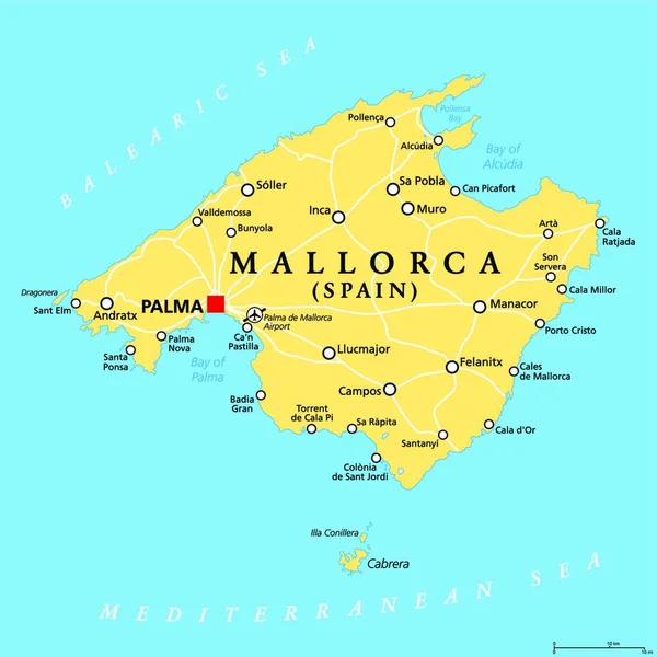
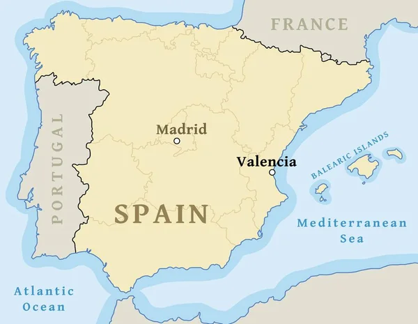
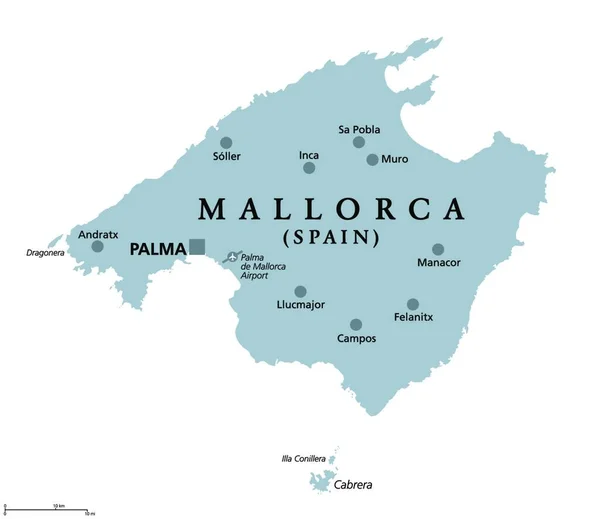
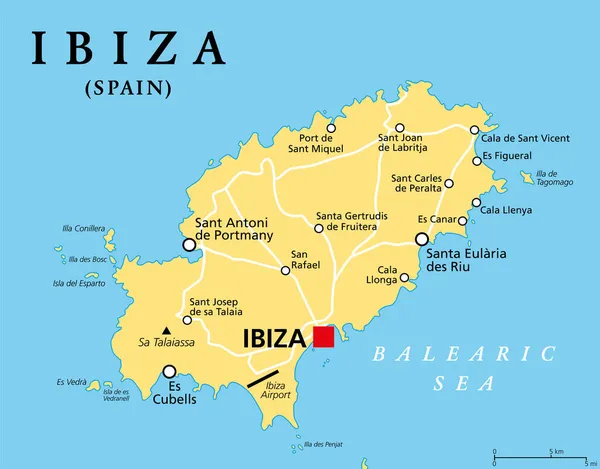
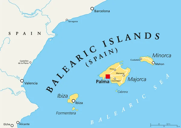
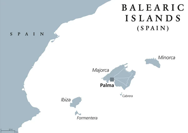
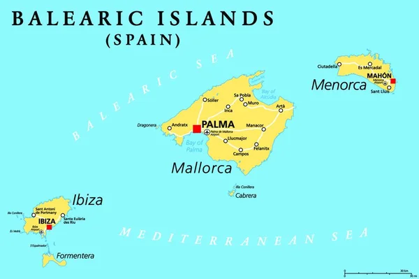
Stock vector Balearic Islands, political map, with main islands Mallorca, Ibiza, Menorca and Formentera. Archipelago of islands in Spain in the Mediterranean Sea, near the Iberian Peninsula. Illustration. Vector.
Published: Dec.14, 2021 11:22:06
Author: PantherMediaSeller
Views: 26
Downloads: 0
File type: vector / zip
File size: 0 MB
Orginal size: 4000 x 3602 px
Available sizes:
Level: platinum