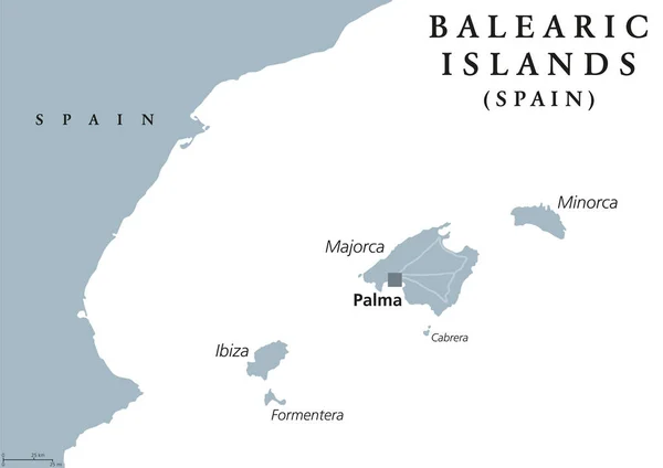
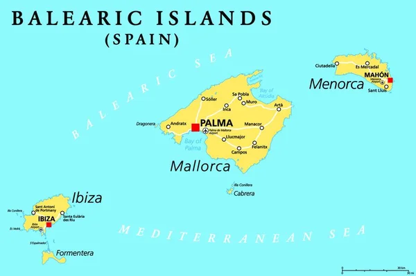
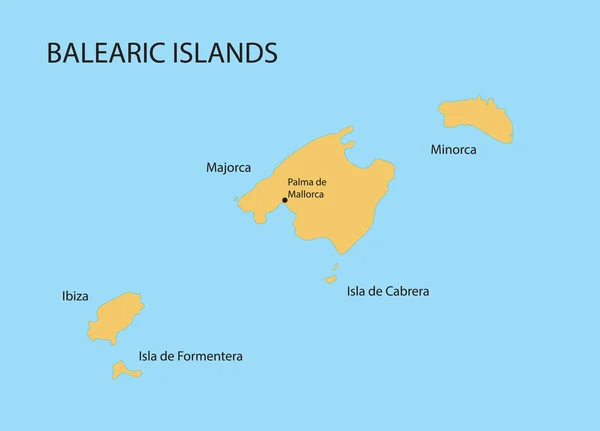
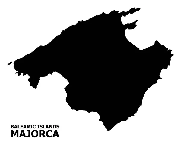
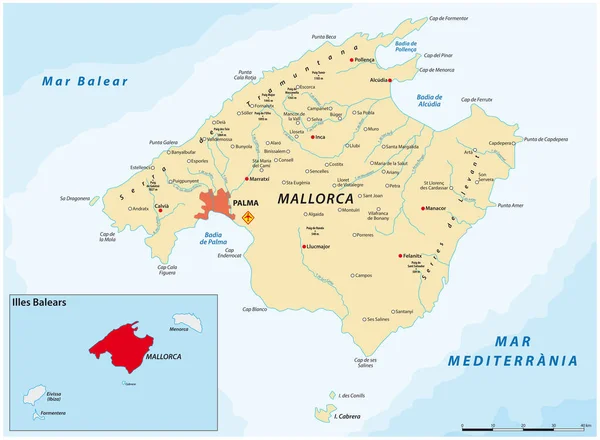
Stock vector Balearic Islands political map
Published: Mar.02, 2017 15:06:22
Author: Furian
Views: 2034
Downloads: 10
File type: vector / eps
File size: 2.2 MB
Orginal size: 9433 x 6669 px
Available sizes:
Level: silver