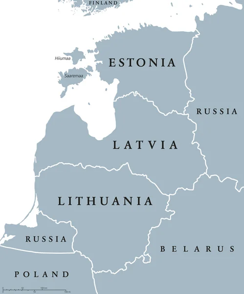
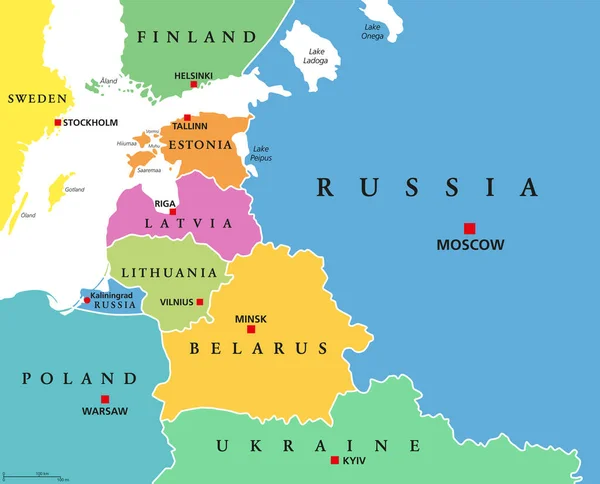
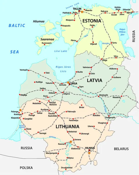
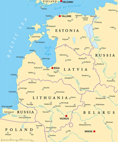
Stock vector Baltic Countries Political Map
Published: Oct.12, 2015 15:28:46
Author: Furian
Views: 1071
Downloads: 13
File type: vector / eps
File size: 1.34 MB
Orginal size: 6000 x 7205 px
Available sizes:
Level: silver