Home
Images
Vectors
Videos
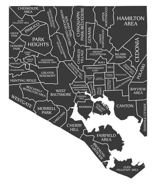
Stock vector Baltimore Maryland city map USA labelled black illustration
Published:
May.18, 2018 05:26:17
Author:
ingomenhard
Views:
16
Downloads:
3
File type:
vector
/
eps
File size:
7.78 MB
Orginal size:
5000
x
5867
px
Available sizes:
S
(426 x 500)
M
(852 x 1000)
L
(1704 x 2000)
XL
(5000 x 5867)
VECT
(5000 x 5867)
EL0
(5000 x 5867)
Level:
bronze
Download Vector
Vector topics:
Graphic
Illustration
Design
Isolated
Shape
New
Black
Silhouette
Border
Modern
City
Flat
Simple
Usa
Country
Map
Area
Trip
State
Countries
Borders
Administrative
Department
Region
Division
Territory
Caption
Flats
Maryland
Neighborhood
Labels
County
Divisions
Borough
Regional
Districts
Provinces
Baltimore
Labelled
Counties
Departments
United States
United States Of America
Similar stock vectors
Seattle Washington City Map USA Labelled Black Illustration
5000 × 8113
Modern City Map - Henderson Nevada City Of The USA With Neighborhoods And Titles Outline Map
5567 × 5000
Portland Oregon City Map USA Labelled Black Illustration
5849 × 5000
Fort Worth Texas City Map USA Labelled Black Illustration
5000 × 5581
Riverside California City Map USA Labelled Black Illustration
7261 × 5000
Cincinnati Ohio City Map USA Labelled Black Illustration
7507 × 5000
Stockton California City Map USA Labelled Black Illustration
5000 × 5076
White Vector Administrative Map Of The Federal State Of North Carolina, USA With Black Borders And Name Tags Of Its Counties
8005 × 3038