Home
Images
Vectors
Videos
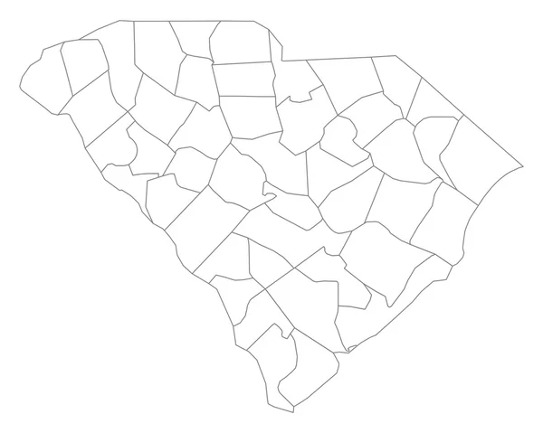
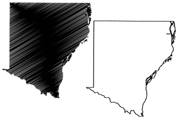
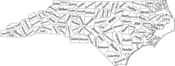
Stock vector White vector administrative map of the Federal State of North Carolina, USA with black borders and name tags of its counties
Published:
Oct.22, 2021 07:56:53
Author:
momcilo.jovanov
Views:
2
Downloads:
1
File type:
vector
/
eps
File size:
2.07 MB
Orginal size:
8005
x
3038
px
Available sizes:
S
(500 x 190)
M
(1000 x 380)
L
(2000 x 759)
XL
(8005 x 3038)
VECT
(8005 x 3038)
EL0
(8005 x 3038)
Level:
bronze
Download Vector
Vector topics:
Vector
Illustration
Design
Sign
Travel
Mountain
Flag
Road
Position
Symbol
Icon
City
Usa
Journey
Outline
District
Direction
Map
Cartography
Land
Topography
Unity
Division
Voting
Insignia
Election
Coat Of Arms
Cut Out
Travel Destinations
National Flag
No People
Physical Geography
Line Art
Washington Dc
Eastern USA
Western USA
Contour Line
Relief Carving
Relief Map
Topographic Map
Flat Design
In Silhouette
North Carolina Us State
Raleigh North Carolina
Similar stock vectors
Map Of South Carolina
5000 × 4000
Henderson Nevada City Map USA Labelled Black Illustration
5422 × 5000
Huehuetenango Department (Republic Of Guatemala, Departments Of Guatemala) Map Vector Illustration, Scribble Sketch Huehuetenango Ma
7087 × 4726
South Carolina, State Of USA - Solid Black Outline Map Of Country Area. Simple Flat Vector Illustration
5000 × 5000
Outline Map Of South Carolina White Background. USA State, Vector Map With Contour.
4000 × 4000
Map U.S. State Of South Carolina
5000 × 5000
Map Of South Carolina
5000 × 4000
Des Moines County, Iowa (U.S. County, United States Of America, USA, U.S., US) Map Vector Illustration, Scribble Sketch Des Moines Map
7087 × 4726