Home
Images
Vectors
Videos
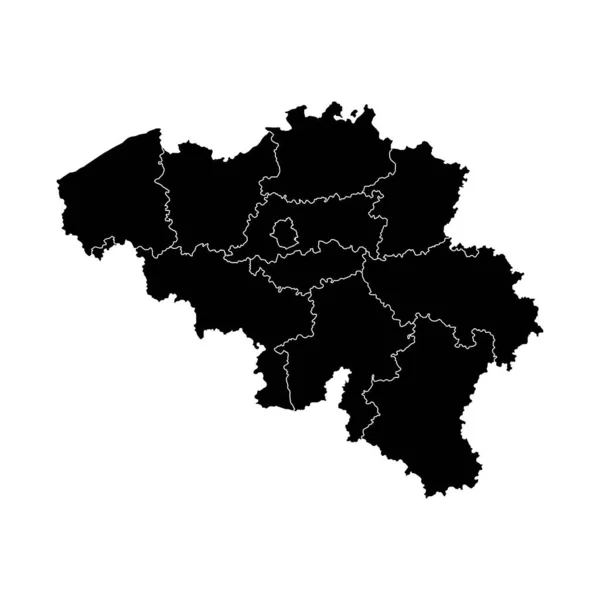
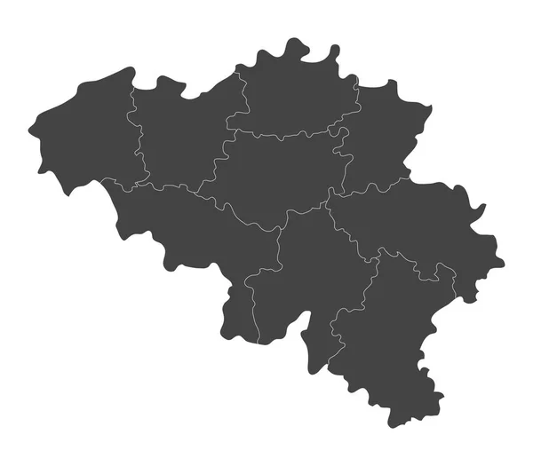
Stock vector belgium map illustrated on a white background
Published:
Feb.27, 2017 09:59:03
Author:
marcotrapani
Views:
9
Downloads:
0
File type:
vector
/
eps
File size:
5.14 MB
Orginal size:
8000
x
7000
px
Available sizes:
S
(500 x 438)
M
(1000 x 875)
L
(2000 x 1750)
XL
(8000 x 7000)
VECT
(8000 x 7000)
EL0
(8000 x 7000)
Level:
bronze
Download Vector
Vector topics:
White
Vector
Background
Graphic
Illustration
Isolated
Art
Travel
Abstract
Texture
Black
Border
Symbol
Icon
Contour
Grey
Simple
World
Europe
Country
Map
Cartography
Geography
National
Belgium
Similar stock vectors
Map Of Belgium With Regions
8000 × 7000
The Saarland Isolated Map Divided In Districts, Germany
5000 × 4000
The Thuringia Isolated Map Divided In Districts, Germany
5000 × 4201
Vector Map Of North Macedonia With Borders Of Regions
6000 × 6000
Belgium Map With Provinces. Vector Illustration.
8334 × 8334
The Castilla-La Mancha Region Map Divided In Provinces, Spain
5000 × 4826
Razgrad Province Map, Province Of Bulgaria. Vector Illustration.
8334 × 8334
Kosovo
3874 × 3874