photo free
Home Images Vectors Videos

Stock vector Bible Belt of the United States, political map. Region of Southern United States and state of Missouri, in all of which socially conservative Protestant Christianity plays a strong role in society.

Stock vector Bible Belt of the United States, political map. Region of Southern United States and state of Missouri, in all of which socially conservative Protestant Christianity plays a strong role in society.
Published: Apr.20, 2024 17:59:19
Author: Furian
Views: 0
Downloads: 0
File type: vector / eps
File size: 3.28 MB
Orginal size: 8247 x 6000 px
Available sizes:
S
(500 x 364)
M
(1000 x 728)
L
(2000 x 1455)
XL
(8247 x 6000)
VECT
(8247 x 6000)
EL0
(8247 x 6000)
Level: silver
Download Vector
Vector topics:

Similar stock vectors

stock vector Cotton Belt of the United States, political map. Region of the American South, from Delaware to East Texas, where cotton was the predominant cash crop from the late 18th century into the 20th century.

Cotton Belt Of The United States, Political Map. Region Of The American South, From Delaware To East Texas, Where Cotton Was The Predominant Cash Crop From The Late 18th Century Into The 20th Century.

8247 × 6000
stock vector Rice Belt of the United States, political map. Region in the southern U.S. states, that grow a significant portion of the nations rice crop, including Arkansas, Louisiana, Mississippi and Texas.

Rice Belt Of The United States, Political Map. Region In The Southern U.S. States, That Grow A Significant Portion Of The Nations Rice Crop, Including Arkansas, Louisiana, Mississippi And Texas.

8247 × 6000
stock vector Sun Belt of the United States, political map. Region with desert, subtropical and tropical climate. Generally considered to stretch across Southwest and Southeast, comprising the southernmost states.

Sun Belt Of The United States, Political Map. Region With Desert, Subtropical And Tropical Climate. Generally Considered To Stretch Across Southwest And Southeast, Comprising The Southernmost States.

8247 × 6000
stock vector Mississippi state outline and icon inset set into a map of The United States of America

Mississippi State Outline And Icon Inset Set Into A Map Of The United States Of America

4000 × 3490
stock vector Wind Belt of the United States, political map. Central U.S. Wind Belt, areas with high wind speeds in 80 meters (260 feet) height, suitable to build new wind turbines and to generate more wind energy.

Wind Belt Of The United States, Political Map. Central U.S. Wind Belt, Areas With High Wind Speeds In 80 Meters (260 Feet) Height, Suitable To Build New Wind Turbines And To Generate More Wind Energy.

8247 × 6000
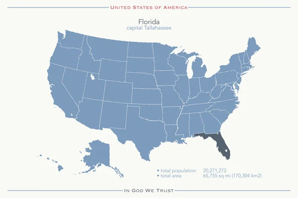
stock vector United States of America isolated map and Florida state territory. vector USA political map. geographic banner design

United States Of America Isolated Map And Florida State Territory. Vector USA Political Map. Geographic Banner Design

6000 × 4000
stock vector Mormon corridor of the United States, nicknamed Jell-O belt, political map. The Mormon culture region, or the Book of Mormon belt, are areas of Western North America, settled by members of LDS Church.

Mormon Corridor Of The United States, Nicknamed Jell-O Belt, Political Map. The Mormon Culture Region, Or The Book Of Mormon Belt, Are Areas Of Western North America, Settled By Members Of LDS Church.

8247 × 6000
stock vector State of Mississippi

State Of Mississippi

6392 × 4267