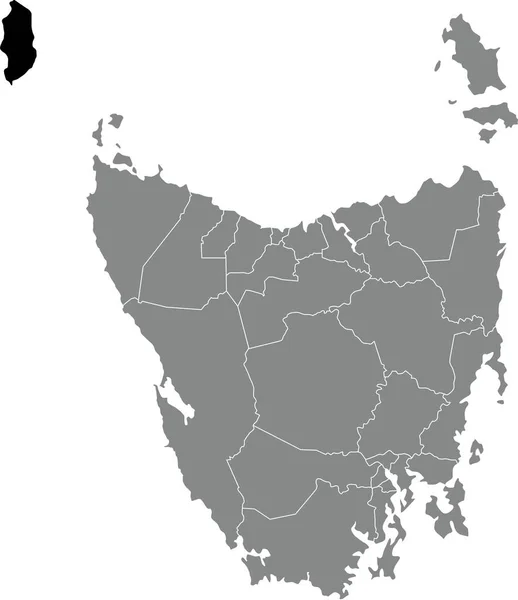
Stock vector Black flat blank highlighted location map of the KING ISLAND AREA inside gray administrative map of areas of the Australian state of Tasmania, Australia
Published: Feb.21, 2022 09:47:46
Author: momcilo.jovanov
Views: 2
Downloads: 0
File type: vector / eps
File size: 0.78 MB
Orginal size: 4582 x 5304 px
Available sizes:
Level: bronze