Home
Images
Vectors
Videos
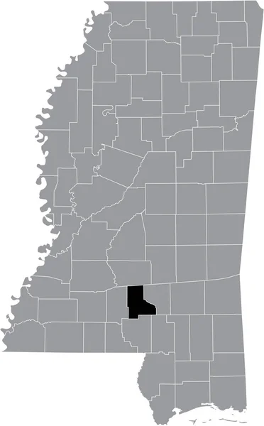
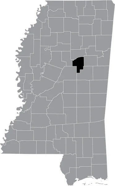
Stock vector Black highlighted location map of the Choctaw County inside gray map of the Federal State of Mississippi, USA
Published:
Sep.20, 2021 07:06:37
Author:
momcilo.jovanov
Views:
2
Downloads:
0
File type:
vector
/
eps
File size:
0.72 MB
Orginal size:
3853
x
6206
px
Available sizes:
S
(310 x 500)
M
(621 x 1000)
L
(1242 x 2000)
XL
(3853 x 6206)
VECT
(3853 x 6206)
EL0
(3853 x 6206)
Level:
bronze
Download Vector
Vector topics:
Vector
Illustration
Design
Sign
Travel
Mountain
Flag
Road
Position
Symbol
Icon
City
Usa
Journey
Outline
District
Direction
Map
Cartography
Land
Topography
Unity
Division
Voting
Insignia
Jackson
Election
Mississippi
Coat Of Arms
Cut Out
Travel Destinations
National Flag
No People
Physical Geography
Line Art
Washington Dc
Eastern USA
Western USA
Contour Line
Relief Carving
Relief Map
Topographic Map
Flat Design
In Silhouette
Similar stock vectors
Black Highlighted Location Map Of The Leflore County Inside Gray Map Of The Federal State Of Mississippi, USA
3853 × 6206
Black Highlighted Location Map Of The Jefferson Davis County Inside Gray Map Of The Federal State Of Mississippi, USA
3853 × 6206
Black Highlighted Location Map Of The Lawrence County Inside Gray Map Of The Federal State Of Mississippi, USA
3853 × 6206
Black Highlighted Location Map Of The Lamar County Inside Gray Map Of The Federal State Of Mississippi, USA
3853 × 6206
Black Highlighted Location Map Of The Montgomery County Inside Gray Map Of The Federal State Of Mississippi, USA
3853 × 6206
Black Highlighted Location Map Of The Prentiss County Inside Gray Map Of The Federal State Of Mississippi, USA
3853 × 6206
Black Highlighted Location Map Of The Pontotoc County Inside Gray Map Of The Federal State Of Mississippi, USA
3853 × 6206
Black Highlighted Location Map Of The Tunica County Inside Gray Map Of The Federal State Of Mississippi, USA
3853 × 6206