Home
Images
Vectors
Videos
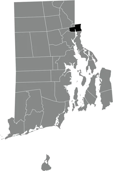
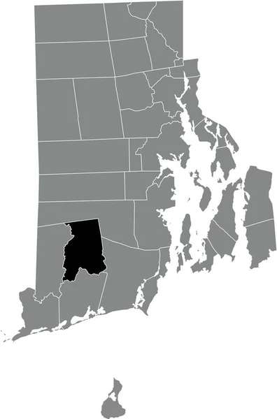
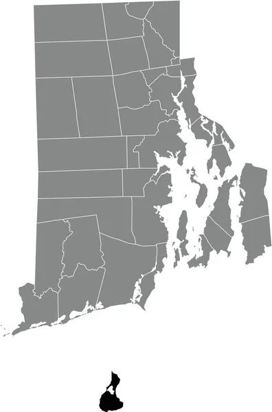
Stock vector Black highlighted location map of the New Shoreham inside gray administrative map of the Federal State of Rhode Island, USA
Published:
Nov.12, 2021 08:12:40
Author:
momcilo.jovanov
Views:
0
Downloads:
0
File type:
vector
/
eps
File size:
0.7 MB
Orginal size:
3967
x
6004
px
Available sizes:
S
(330 x 500)
M
(661 x 1000)
L
(1321 x 2000)
XL
(3967 x 6004)
VECT
(3967 x 6004)
EL0
(3967 x 6004)
Level:
bronze
Download Vector
Vector topics:
Vector
Illustration
Design
Sign
Travel
Mountain
Flag
Road
Position
Symbol
Icon
City
Usa
Journey
Outline
District
Direction
Map
Cartography
Land
Topography
Unity
Division
Voting
Insignia
Election
Providence
Coat Of Arms
Cut Out
Travel Destinations
National Flag
No People
Physical Geography
Line Art
Washington Dc
Rhode Island
Eastern USA
Western USA
Contour Line
Relief Carving
Relief Map
Topographic Map
Flat Design
In Silhouette
Similar stock vectors
Gray Vector Administrative Map Of The Federal State Of Rhode Island, USA With White Borders Of Its Municipalities
3967 × 6004
Black Highlighted Location Map Of The Westerly Inside Gray Administrative Map Of The Federal State Of Rhode Island, USA
3967 × 6004
Black Highlighted Location Map Of The Bristol Inside Gray Administrative Map Of The Federal State Of Rhode Island, USA
3967 × 6004
Black Highlighted Location Map Of The Pawtucket Inside Gray Administrative Map Of The Federal State Of Rhode Island, USA
3967 × 6004
Black Highlighted Location Map Of The East Providence Inside Gray Administrative Map Of The Federal State Of Rhode Island, USA
3967 × 6004
Black Highlighted Location Map Of The Woonsocket Inside Gray Administrative Map Of The Federal State Of Rhode Island, USA
3967 × 6004
Black Highlighted Location Map Of The Richmond Inside Gray Administrative Map Of The Federal State Of Rhode Island, USA
3967 × 6004
Black Highlighted Location Map Of The Cumberland Inside Gray Administrative Map Of The Federal State Of Rhode Island, USA
3967 × 6004