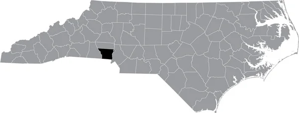
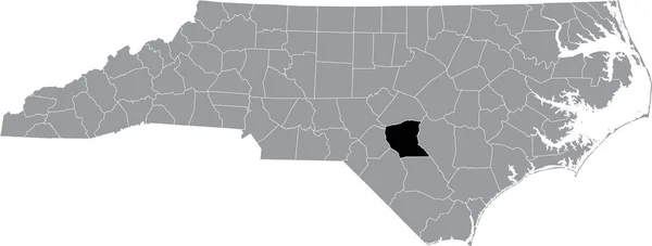
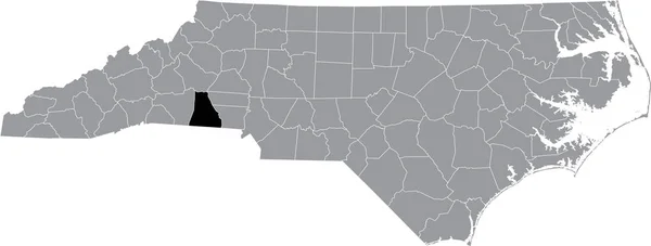
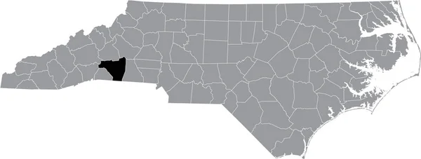
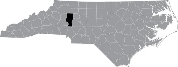
Stock vector Black highlighted location map of the Union County inside gray administrative map of the Federal State of North Carolina, USA

Published: Oct.22, 2021 07:56:53
Author: momcilo.jovanov
Views: 1
Downloads: 0
File type: vector / eps
File size: 1.42 MB
Orginal size: 8003 x 3035 px
Available sizes:
Level: bronze