Home
Images
Vectors
Videos
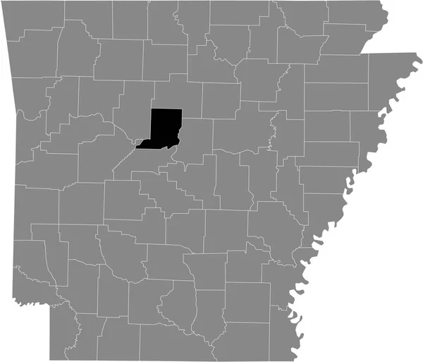
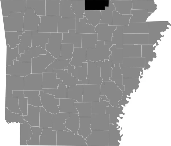
Stock vector Black highlighted location map of the US Baxter county inside gray map of the Federal State of Arkansas, USA
Published:
May.28, 2021 16:16:46
Author:
momcilo.jovanov
Views:
0
Downloads:
0
File type:
vector
/
eps
File size:
0.53 MB
Orginal size:
5304
x
4544
px
Available sizes:
S
(500 x 428)
M
(1000 x 857)
L
(2000 x 1713)
XL
(5304 x 4544)
VECT
(5304 x 4544)
EL0
(5304 x 4544)
Level:
bronze
Download Vector
Vector topics:
Vector
Illustration
Design
Sign
Travel
Mountain
Flag
Road
Position
Symbol
Icon
City
Usa
Journey
Outline
District
Direction
Map
Cartography
National
Land
State
Topography
Unity
Region
Division
Voting
Insignia
Election
Province
Phoenix
Arkansas
Coat Of Arms
Cut Out
Travel Destinations
National Flag
No People
Physical Geography
Line Art
Washington Dc
Eastern USA
Western USA
Little Rock
Contour Line
Relief Carving
Relief Map
Topographic Map
Flat Design
In Silhouette
Square Composition
Similar stock vectors
Black Highlighted Location Map Of The US Washington County Inside Gray Map Of The Federal State Of Arkansas, USA
5304 × 4544
Black Highlighted Location Map Of The US Sebastian County Inside Gray Map Of The Federal State Of Arkansas, USA
5304 × 4544
Black Highlighted Location Map Of The US Carroll County Inside Gray Map Of The Federal State Of Arkansas, USA
5304 × 4544
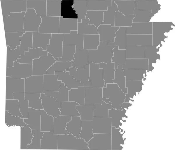
Black Highlighted Location Map Of The US Fulton County Inside Gray Map Of The Federal State Of Arkansas, USA
5304 × 4544
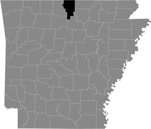
Black Highlighted Location Map Of The US Marion County Inside Gray Map Of The Federal State Of Arkansas, USA
5304 × 4544
Black Highlighted Location Map Of The US Lafayette County Inside Gray Map Of The Federal State Of Arkansas, USA
5304 × 4544
Black Highlighted Location Map Of The US Benton County Inside Gray Map Of The Federal State Of Arkansas, USA
5304 × 4544
Black Highlighted Location Map Of The US Conway County Inside Gray Map Of The Federal State Of Arkansas, USA
5304 × 4544