photo free
Home Images Vectors Videos

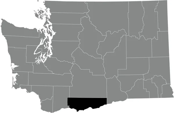
Stock vector Black highlighted location map of the Yakima County inside gray administrative map of the Federal State of Washington, USA

Stock vector Black highlighted location map of the Yakima County inside gray administrative map of the Federal State of Washington, USA
Published: Jan.06, 2022 16:30:51
Author: momcilo.jovanov
Views: 0
Downloads: 0
File type: vector / eps
File size: 1.11 MB
Orginal size: 6003 x 3907 px
Available sizes:
S
(500 x 325)
M
(1000 x 651)
L
(2000 x 1302)
XL
(6003 x 3907)
VECT
(6003 x 3907)
EL0
(6003 x 3907)
Level: bronze
Download Vector
Vector topics:

Similar stock vectors

stock vector Black highlighted location map of the Walla Walla County inside gray administrative map of the Federal State of Washington, USA

Black Highlighted Location Map Of The Walla Walla County Inside Gray Administrative Map Of The Federal State Of Washington, USA

6003 × 3907
stock vector Black highlighted location map of the Klickitat County inside gray administrative map of the Federal State of Washington, USA

Black Highlighted Location Map Of The Klickitat County Inside Gray Administrative Map Of The Federal State Of Washington, USA

6003 × 3907
stock vector Black highlighted location map of the Benton County inside gray administrative map of the Federal State of Washington, USA

Black Highlighted Location Map Of The Benton County Inside Gray Administrative Map Of The Federal State Of Washington, USA

6003 × 3907
stock vector Black highlighted location map of the Thurston County inside gray administrative map of the Federal State of Washington, USA

Black Highlighted Location Map Of The Thurston County Inside Gray Administrative Map Of The Federal State Of Washington, USA

6003 × 3907
stock vector Black highlighted location map of the Lewis County inside gray administrative map of the Federal State of Washington, USA

Black Highlighted Location Map Of The Lewis County Inside Gray Administrative Map Of The Federal State Of Washington, USA

6003 × 3907
stock vector Black highlighted location map of the Whatcom County inside gray administrative map of the Federal State of Washington, USA

Black Highlighted Location Map Of The Whatcom County Inside Gray Administrative Map Of The Federal State Of Washington, USA

6003 × 3907
stock vector Black highlighted location map of the Clallam County inside gray administrative map of the Federal State of Washington, USA

Black Highlighted Location Map Of The Clallam County Inside Gray Administrative Map Of The Federal State Of Washington, USA

6003 × 3907
stock vector Black highlighted location map of the Franklin County inside gray administrative map of the Federal State of Washington, USA

Black Highlighted Location Map Of The Franklin County Inside Gray Administrative Map Of The Federal State Of Washington, USA

6003 × 3907