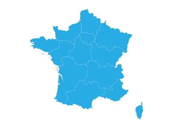
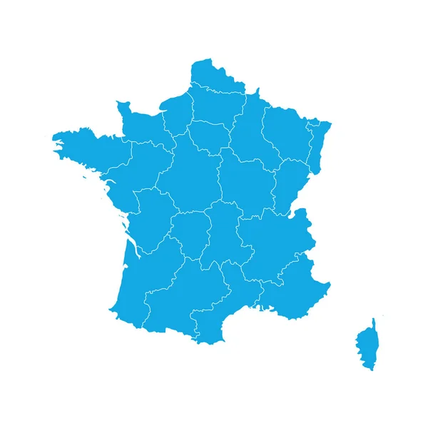
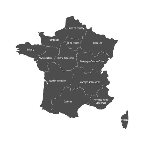
Stock vector Blue map of France divided into 13 administrative metropolitan regions, since 2016. Vector illustration

Published: Oct.02, 2017 06:17:56
Author: pyty
Views: 34
Downloads: 0
File type: vector / eps
File size: 0.68 MB
Orginal size: 6000 x 6000 px
Available sizes:
Level: silver