Home
Images
Vectors
Videos
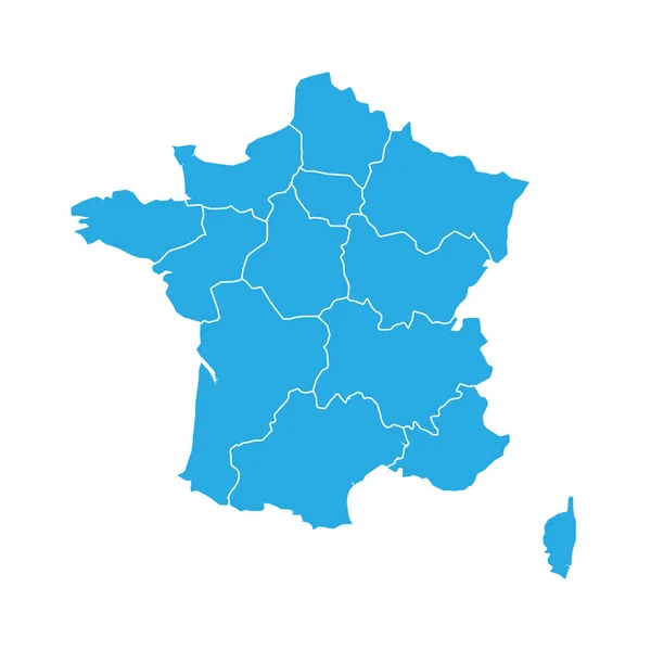
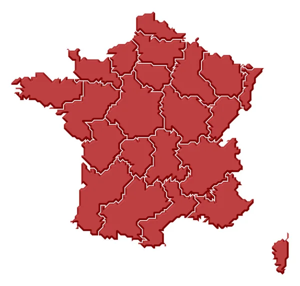
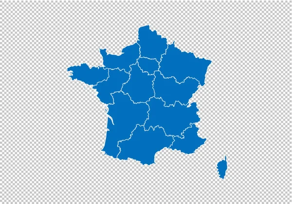
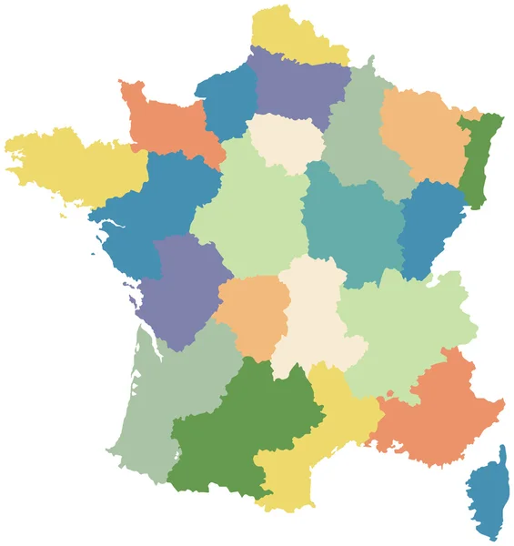
Stock vector Map of france. High detailed vector map - france.
Published:
May.21, 2018 07:02:56
Author:
PeaceDeposit
Views:
4
Downloads:
0
File type:
vector
/
eps
File size:
5.53 MB
Orginal size:
6000
x
4200
px
Available sizes:
S
(500 x 350)
M
(1000 x 700)
L
(2000 x 1400)
XL
(6000 x 4200)
VECT
(6000 x 4200)
EL0
(6000 x 4200)
Level:
bronze
Download Vector
Vector topics:
White
Blue
Vector
Background
Generated
Graphic
Illustration
Design
Isolated
Shape
Art
Travel
Abstract
Texture
French
Cut
Silhouette
Border
Modern
Symbol
Concept
Icon
City
Flat
Physical
Education
Planet
World
Digitally
France
Surface
North
Europe
South
Country
Map
Cartography
Geography
National
Land
Chart
Paris
Central
Nation
Corsica
Infographic
Similar stock vectors
Blue Map Of France Divided Into 13 Administrative Metropolitan Regions, Since 2016. Vector Illustration
6000 × 6000
Political Map Of France With The Several Regions.
5394 × 5157
France Map - High Detailed Blue Map With Counties/regions/states Of France. France Map Isolated On Transparent Background.
7000 × 4890
France Map - Vector Solid Contour And State Regions. Illustration
5209 × 5209
Map Of France Divided Into Regions
2992 × 3175
A Map Of France
4100 × 4040
France With Regions. Vector Illustration.
8334 × 8334
Colorful Map Of France (all Regions On Separate Layers)
4000 × 4000