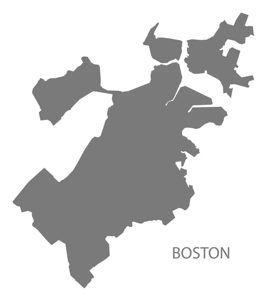
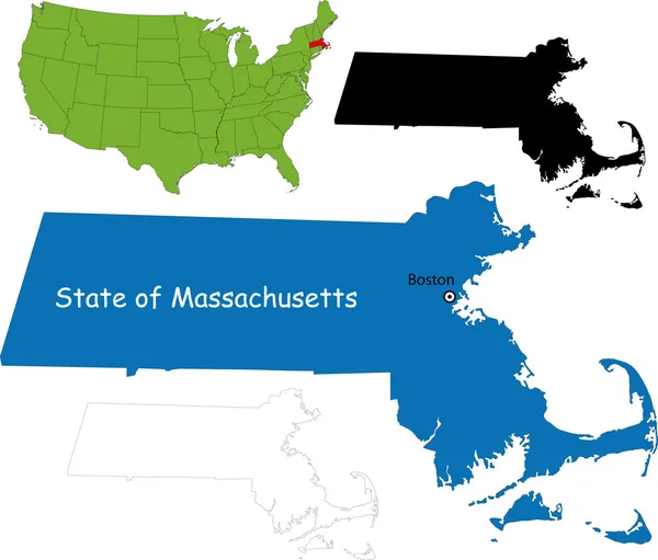
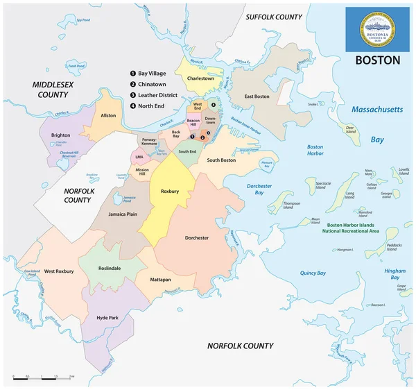
Stock vector Boston map, American city. Municipal administrative area map with rivers and roads, parks and railways. Vector illustration.

Published: Sep.08, 2023 14:45:44
Author: Litteralis
Views: 0
Downloads: 0
File type: vector / eps
File size: 13.47 MB
Orginal size: 5001 x 3145 px
Available sizes:
Level: bronze