Home
Images
Vectors
Videos
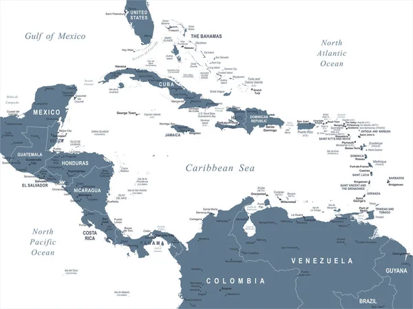
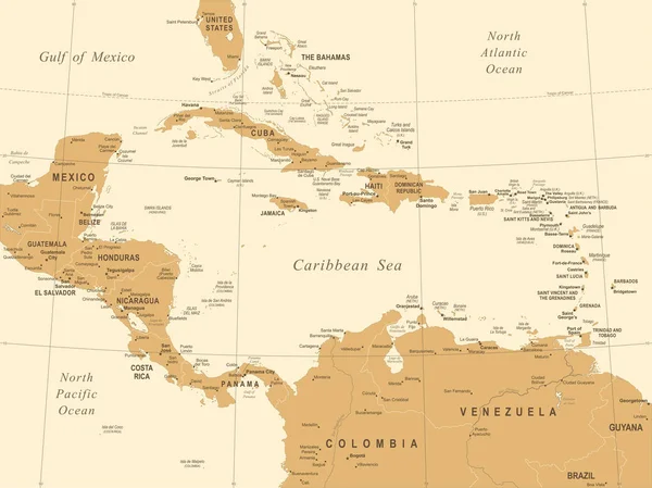
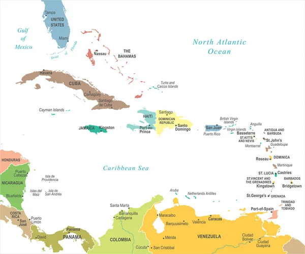
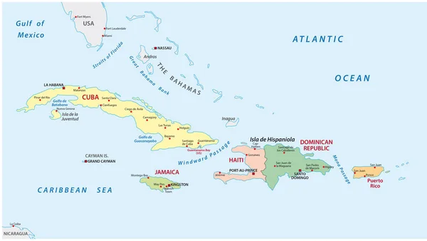
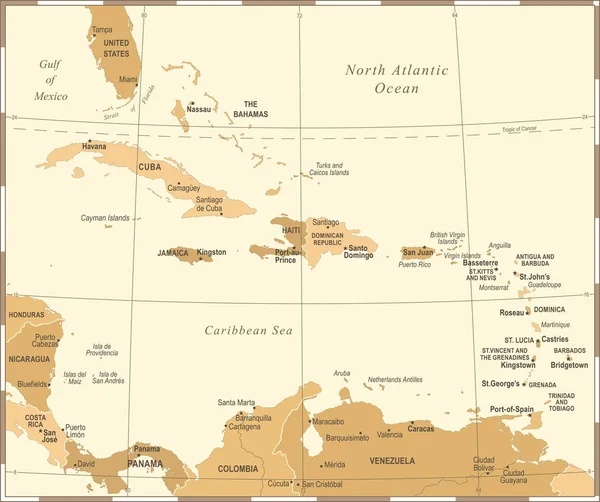
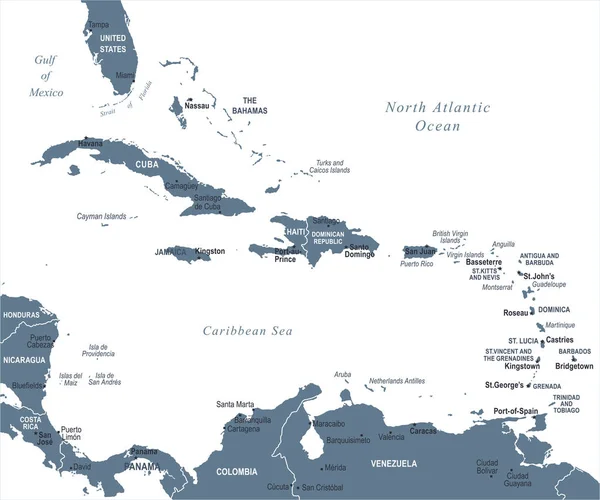
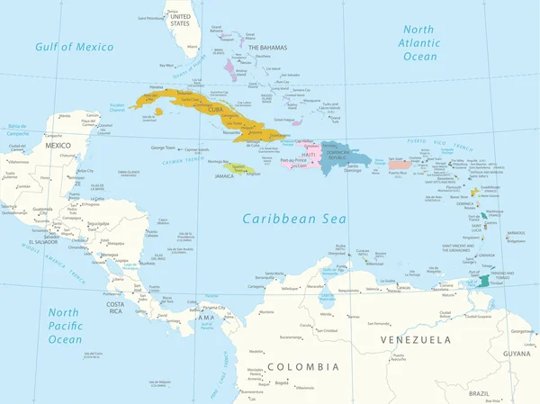
Stock vector Caribbean - highly detailed map.
Published:
Jun.26, 2015 17:20:09
Author:
Ekler
Views:
534
Downloads:
24
File type:
vector
/
eps
File size:
10.27 MB
Orginal size:
5001
x
3750
px
Available sizes:
S
(500 x 375)
M
(1000 x 750)
L
(2000 x 1500)
XL
(5001 x 3750)
VECT
(5001 x 3750)
EL0
(5001 x 3750)
Level:
bronze
Download Vector
Vector topics:
Color
Background
Graphic
Illustration
Detail
Sea
Cut
Contour
Surface
Globe
Outline
Country
District
Map
Cartography
Geography
Area
Land
State
Chart
Location
Boundary
Political
Administrative
Region
Division
Caribbean
Atlas
Province
Nation
Jamaica
Cuba
Dominican
Barbuda
Trinidad
Cayman
Bahamas
Puerto
Rico
Antigua
Dominica
Barbados
Grenada
Haiti
Tobago
Caribbean Islands
Geographic Map
Similar stock vectors
Central America Map - Vector Illustration
7335 × 5500
Central America Map - Vintage Vector Illustration
7334 × 5500
The Caribbean Map - Vector Illustration
6598 × 5500
The Caribbean Map - Vintage Vector Illustration
6597 × 5500
Political And Administrative Map Of The Lesser Antilles
5490 × 3100
The Caribbean Map - Vintage Vector Illustration
6574 × 5500
Central America And Carribean States Political Map. Black Outline Borders With Black Country Names Labels On Blue Background. Simple Flat Vector Illustration
8000 × 6000
The Caribbean Map - Vector Illustration
6598 × 5500