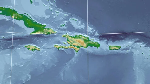
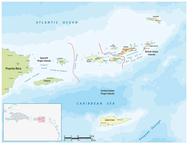
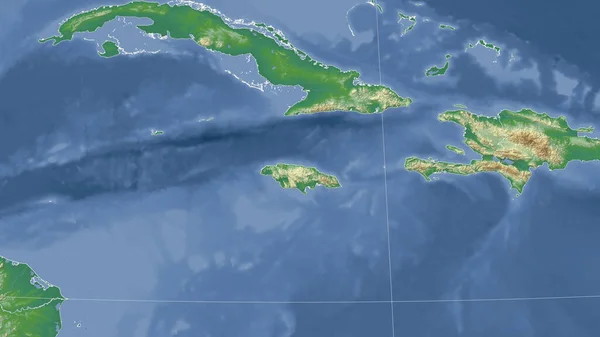
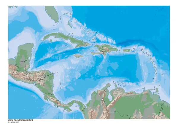
Stock vector Caribbean geography map
Published: Feb.04, 2014 07:44:34
Author: BenKenogy
Views: 626
Downloads: 17
File type: vector / ai
File size: 0.84 MB
Orginal size: 5004 x 3552 px
Available sizes:
Level: beginner