Home
Images
Vectors
Videos
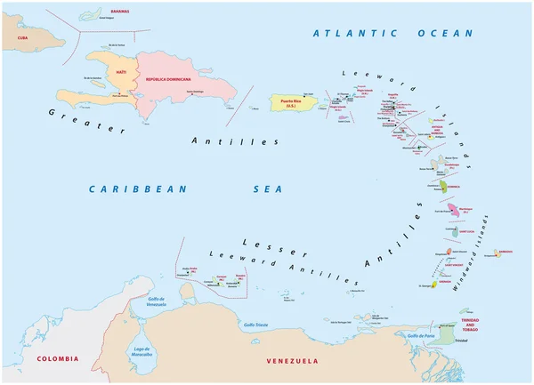
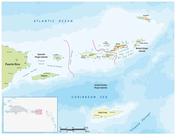
Stock vector Vector map of British, Spanish and American Virgin Islands
Published:
Aug.07, 2022 09:18:52
Author:
Lesniewski
Views:
6
Downloads:
0
File type:
vector
/
eps
File size:
1.88 MB
Orginal size:
4045
x
3100
px
Available sizes:
S
(500 x 383)
M
(1000 x 766)
L
(2000 x 1533)
XL
(4045 x 3100)
VECT
(4045 x 3100)
EL0
(4045 x 3100)
Level:
bronze
Download Vector
Vector topics:
Vector
Background
Graphic
Illustration
Design
Travel
Detail
Sea
Border
Symbol
City
Contour
Scale
Usa
Bay
Ocean
Town
Outline
Country
Map
Cartography
Geography
America
Island
Political
Passage
Atlantic
Airport
United
States
Region
British
Territory
Lesser
Leeward
Archipelago
Antilles
Tortola
Usvi
Infographic
Caribbean Sea
United States
Puerto Rico
Virgin Islands
Antlantic Ocean
Vieques Island
Spanish Virgin Islands
Similar stock vectors
Map Of The States Of The Lesser Antilles
6772 × 4893
Vector Map Of Caribbean Bay Islands, Honduras
4526 × 3100
Map Of The Antilles Island In The French Overseas Territories Of Saint-Barthelemy
4583 × 3100
Caribbean Islands Political Map
9288 × 7191
The Caribbean Map - Vector Illustration
6062 × 5500
Antigua And Barbuda Map
3100 × 4647
Vector Map Of The Capital Of The State Of America
4000 × 3851
Vector Map Of The Greater Antilles In The Caribbean Region
6053 × 3100