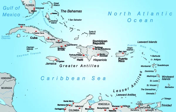
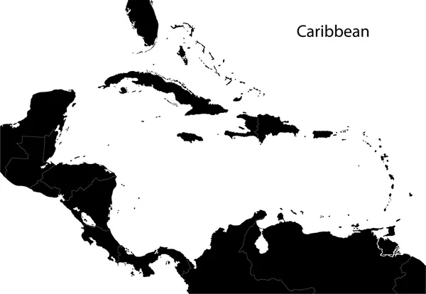
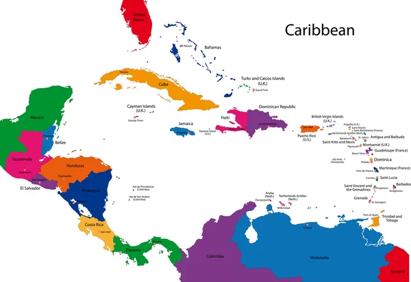
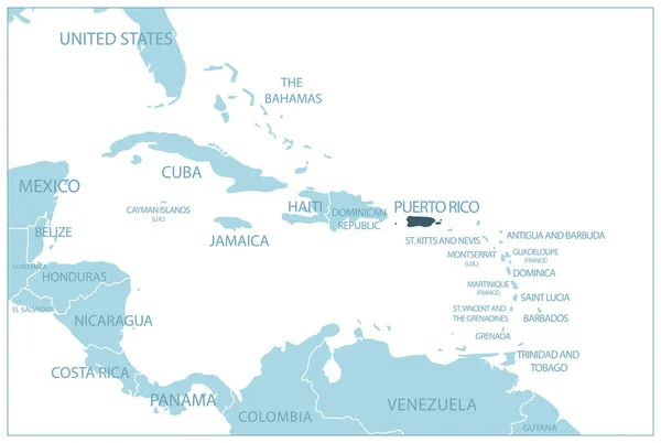
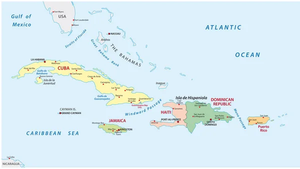
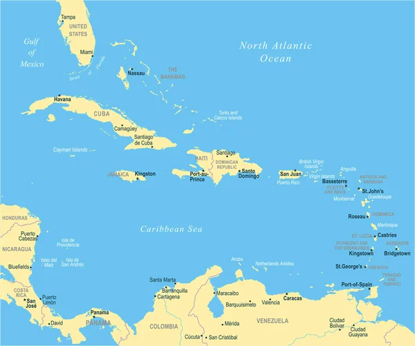
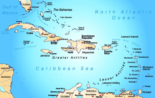
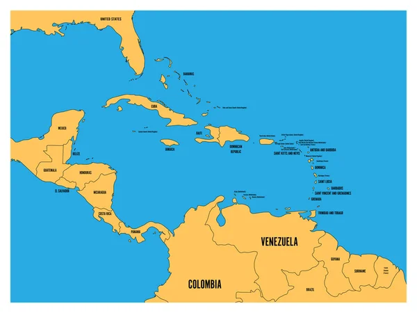
Stock vector Caribbean map
Published: Apr.26, 2010 07:20:02
Author: Volina
Views: 2921
Downloads: 28
File type: vector / eps
File size: 3.56 MB
Orginal size: 6000 x 4132 px
Available sizes:
Level: silver