Home
Images
Vectors
Videos
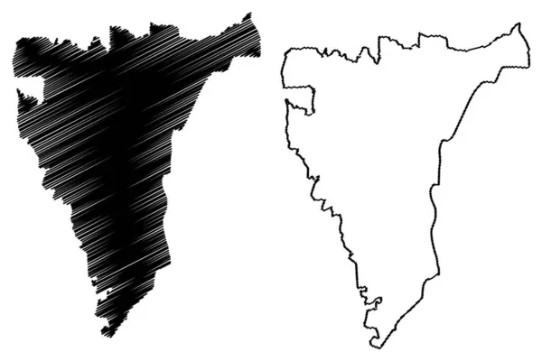
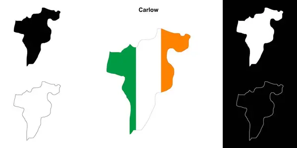
Stock vector Carlow county outline map set
Published:
Apr.10, 2024 20:38:09
Author:
davidzydd
Views:
0
Downloads:
0
File type:
vector
/
eps
File size:
0.24 MB
Orginal size:
6000
x
3000
px
Available sizes:
S
(500 x 250)
M
(1000 x 500)
L
(2000 x 1000)
XL
(6000 x 3000)
VECT
(6000 x 3000)
EL0
(6000 x 3000)
Level:
silver
Download Vector
Vector topics:
Set
Shape
Silhouette
Border
Symbol
Icon
Tourism
Detailed
Collection
Map
Geography
Area
Borders
Republic
Region
Territory
Maps
Irish
Eps
Republic Of Ireland
Blank Map
Carlow
Vector Map
County Carlow
Cheatharlach
Ireland County
Carlow Border Map
Carlow Boundary
Carlow Contour
Carlow Eps Map
Carlow Map
Carlow Map Isolated
Carlow Map Outline
Carlow Map Set
Carlow Map Vector
Carlow Outline
Carlow Outline Map
Carlow Outline Map Set
Carlow Outline Maps
Carlow Vector Map
Carlow Vector Outline Map
Blank Map Of Carlow
Ireland Counties
Irish Counties
Similar stock vectors
Highly Detailed Niger Map With Borders Isolated On Background
8000 × 2667
Country Shape Illustration Of India India
6667 × 3333
Sipahijala District (Tripura State, Republic Of India) Map Vector Illustration, Scribble Sketch Sipahijala Map
7087 × 4726
Simple (only Sharp Corners) Map Of India (including Andaman And
6301 × 3001
Sodertorn Island (Kingdom Of Sweden) Map Vector Illustration, Scribble Sketch Sodertorn Map
7087 × 4726
San Vicente Department (Republic Of El Salvador, Departments Of El Salvador) Map Vector Illustration, Scribble Sketch San Vicente Ma
7087 × 4726
Emirate Of Sharjah (Emirates Of The United Arab Emirates, UAE) Map Vector Illustration, Scribble Sketch Sharjah Ma
7087 × 4726
Backgrounds Of India
6944 × 3472