
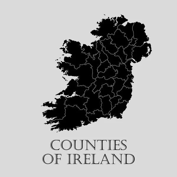
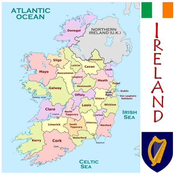
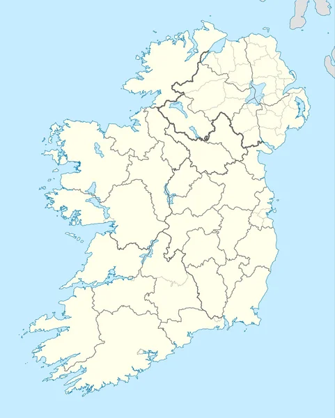
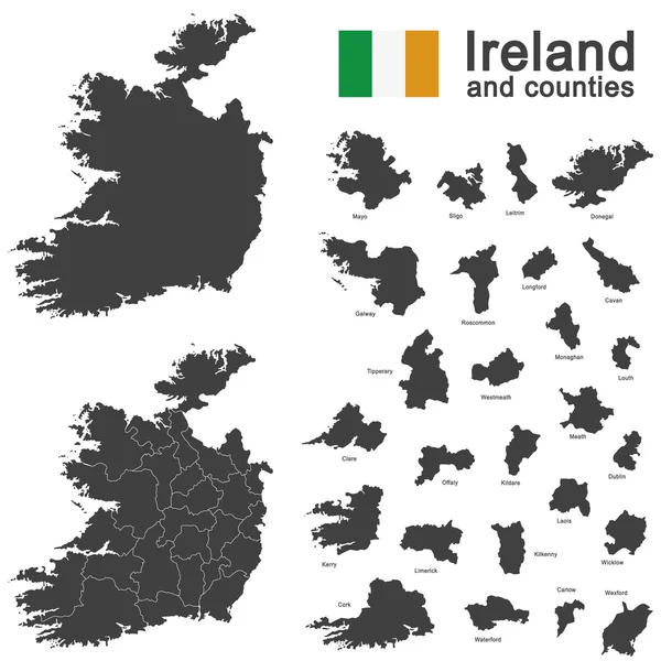
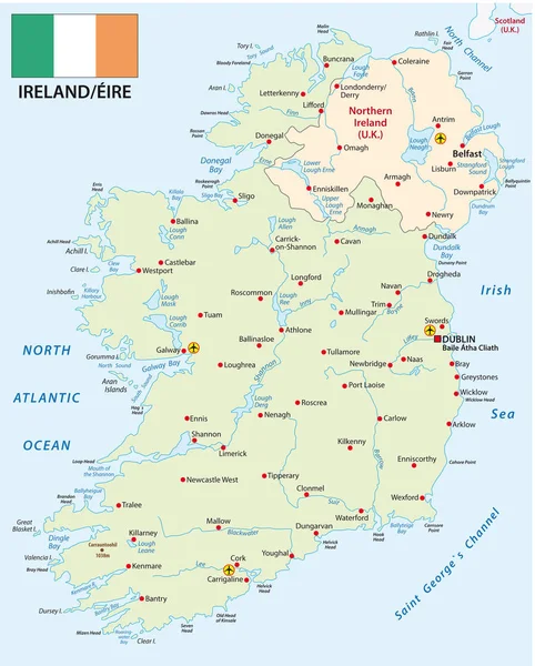
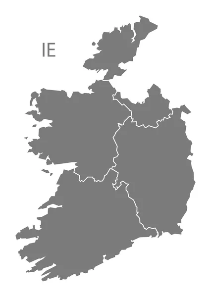
Stock image Ireland Counties
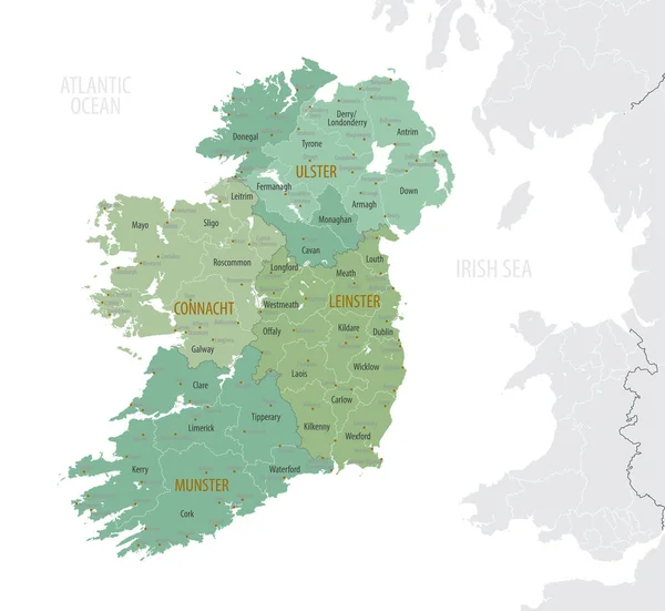
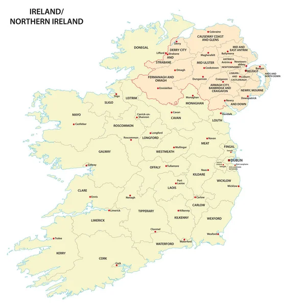
Detailed Map Of Ireland With Administrative Divisions Into Provinces And Counties, Major Cities Of The Country, Vector Illustration Onwhite Background
Vector, 4.12MB, 7087 × 6510 eps


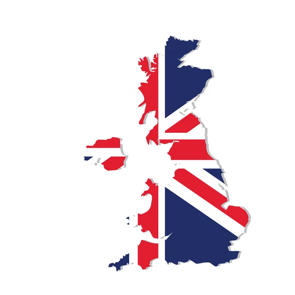
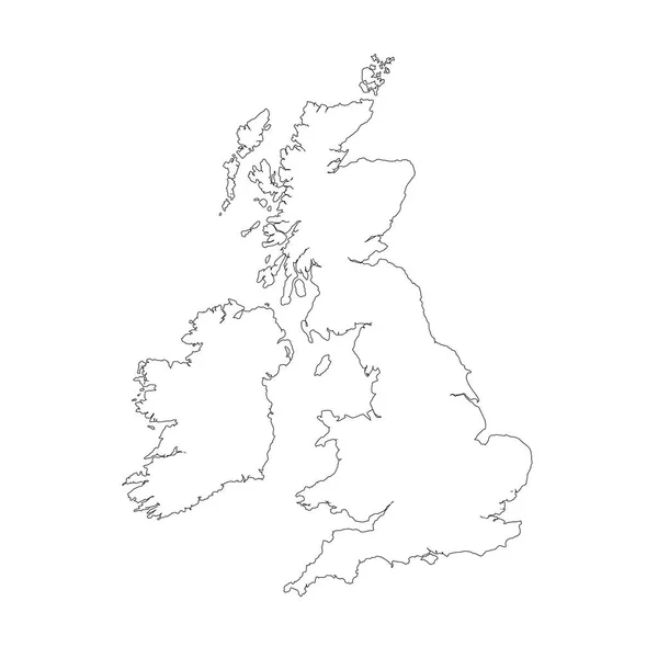
Vector Map Great Britain. Isolated Vector Illustration. Black On White Background. EPS 10 Illustration.
Vector, 0.83MB, 5000 × 5000 eps

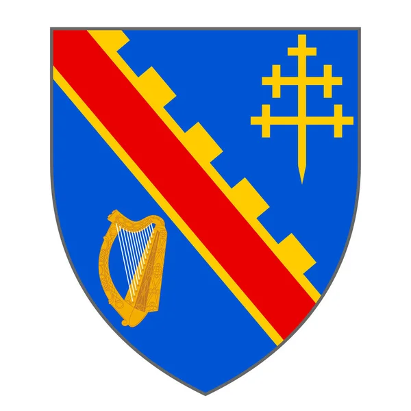
Coat Of Arms Of County Armagh Is One Of The Traditional Counties Of Ireland And One Of Six Counties That Form Northern Ireland. Vector Illustration
Vector, 5.26MB, 4167 × 4167 eps


Flag Of County Antrim Is One Of Six Counties That Form Northern Ireland. Vector Illustration
Vector, 5.32MB, 6272 × 4167 eps
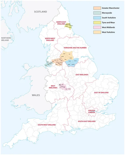
Outline Vector Map Of The Six Metropolitan Counties Of England, United Kingdom
Vector, 2.31MB, 3575 × 4440 eps
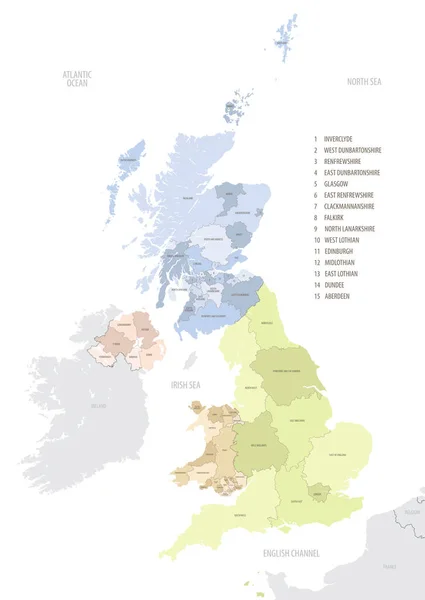
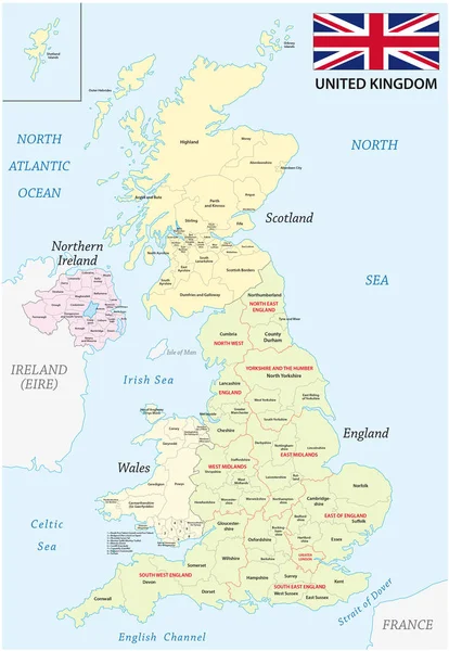
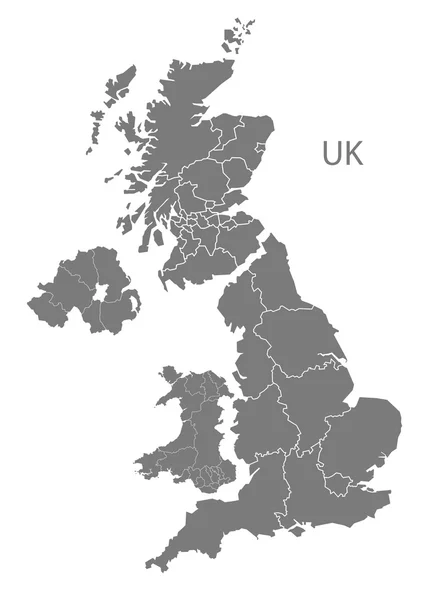
Location Map Of United Kingdom In Europe With Administrative Divisions, Detailed Vector Illustration
Vector, 4.61MB, 5453 × 7677 eps
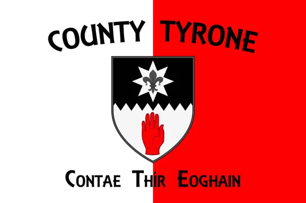
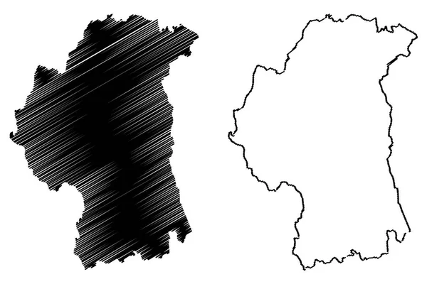
Flag Of County Tyrone Is One Of The Nine Counties Of Ulster, One Of The Six Counties Of Northern Ireland. Vector Illustration
Vector, 5.25MB, 6271 × 4167 eps

Vector Map Great Britain. Isolated Vector Illustration. Black On White Background. EPS 10 Illustration.
Vector, 0.86MB, 5000 × 5000 eps


Page 1 >> Next