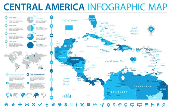
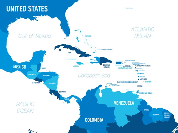
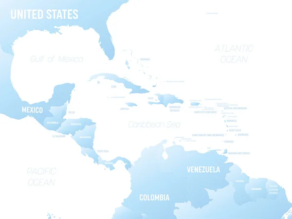
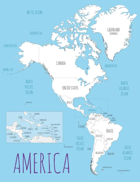
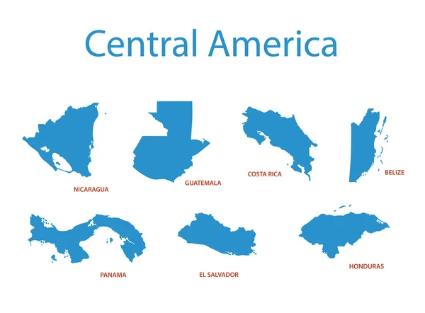
Stock vector central america - vector maps of territories
Published: Aug.29, 2016 16:03:18
Author: pavalena
Views: 78
Downloads: 2
File type: vector / eps
File size: 0.27 MB
Orginal size: 4797 x 3535 px
Available sizes:
Level: bronze