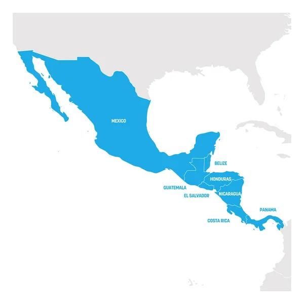
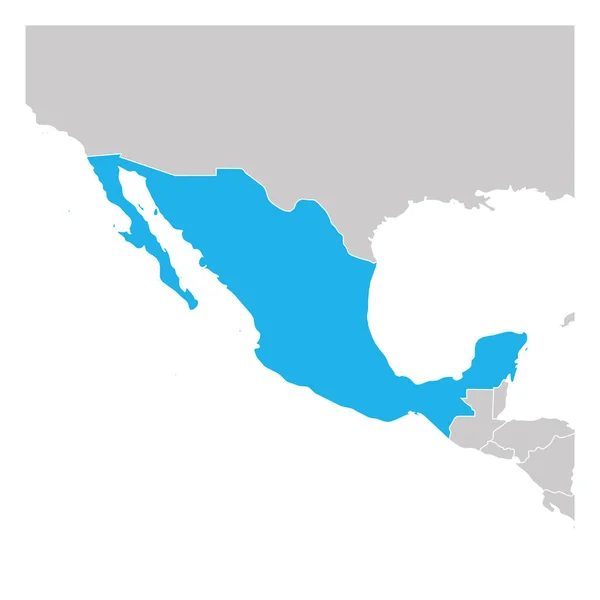
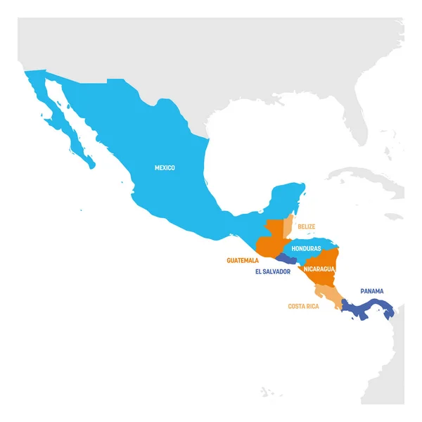
Stock vector Central America Region. Map of countries in central part of America. Vector illustration
Published: May.14, 2019 10:14:02
Author: pyty
Views: 13
Downloads: 1
File type: vector / eps
File size: 1.2 MB
Orginal size: 6000 x 6000 px
Available sizes:
Level: silver
Similar stock vectors
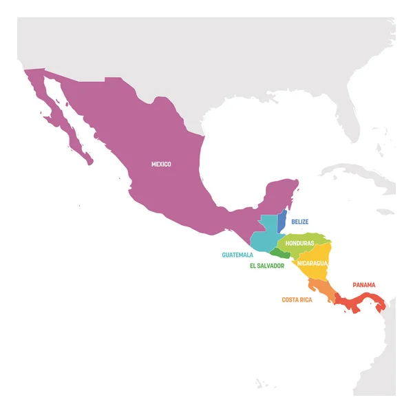
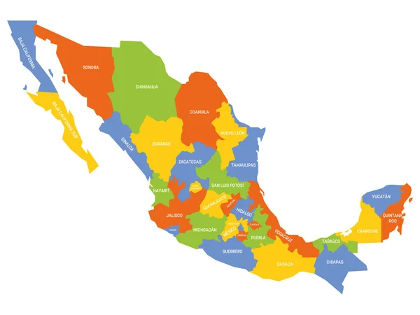
Central America Region. Colorful Map Of Countries In Central Part Of America. Vector Illustration
6000 × 6000