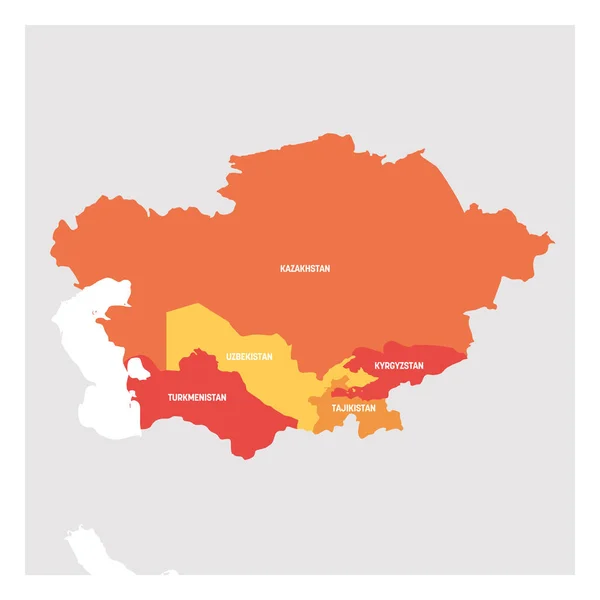
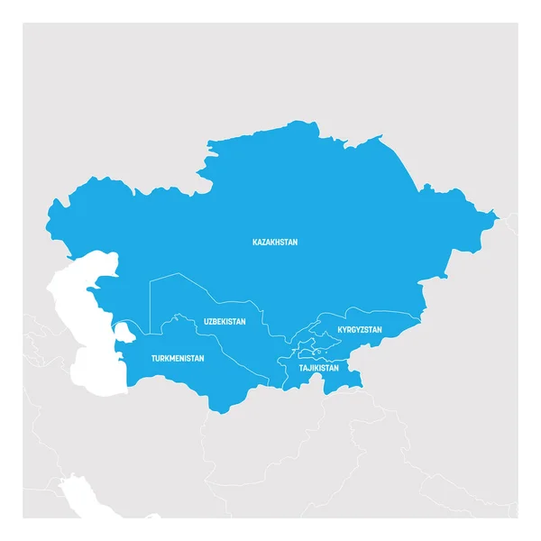
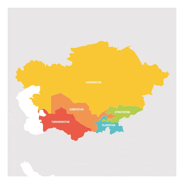
Stock vector Central Asia Region. Colorful map of countries in central part of Asia. Vector illustration
Published: Feb.11, 2019 11:54:20
Author: pyty
Views: 72
Downloads: 6
File type: vector / eps
File size: 1.84 MB
Orginal size: 6000 x 6000 px
Available sizes:
Level: silver