Home
Images
Vectors
Videos
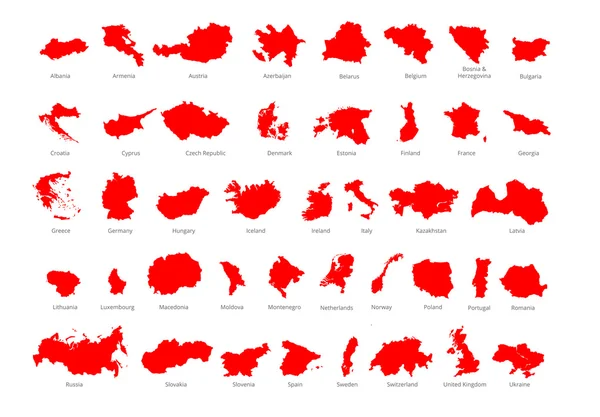
Stock vector Chile provinces maps
Published:
Aug.09, 2013 10:05:15
Author:
lavinia4000
Views:
535
Downloads:
12
File type:
vector
/
eps
File size:
4.37 MB
Orginal size:
6000
x
4636
px
Available sizes:
S
(500 x 386)
M
(1000 x 773)
L
(2000 x 1545)
XL
(6000 x 4636)
VECT
(6000 x 4636)
EL0
(6000 x 4636)
Level:
beginner
Download Vector
Vector topics:
Color
Vector
Computer
Illustration
Sign
Travel
Silhouette
Border
Flag
3d
Symbol
Icon
Drawing
World
American
Country
District
Map
Cartography
Geography
National
Continent
State
America
Boundary
Political
Administrative
Republic
Region
Boundaries
Atlas
De
Province
Nation
Chile
Santiago
Mapa
Magellan
Atacama
Chileno
Libertador
Aisen
Coquimbo
South America
Antofagasta
Tarapaca
Maule
Araucania
Black Shadow
Los Lagos
Similar stock vectors
Crete Provinces Maps
6000 × 4636
Detailed, Vector, Blue Map Of Latvia With Administrative Divisions Into Regions Country
7677 × 3290
Dotted Bahamas Islands Map With Blue Variant
9604 × 4767
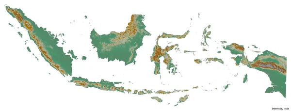
Shape Of Indonesia With Its Capital Isolated On White Background. Topographic Relief Map. 3D Rendering
3434 × 1316
Vector Color Detailed Map Of Italy With Administrative Divisions Of The Country, Each Region Is Presented Separately In-highly Detailed And Divided Into Provinces
8268 × 2819
Colorful European Countries Political Map With Clearly Labeled, Separated Layers. Vector Illustration.
7193 × 5000
Dot USA Virgin Islands Map With Blue Version
8546 × 4771