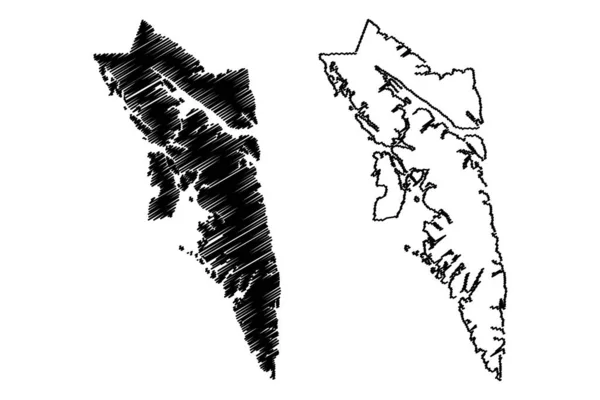
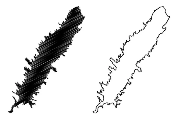
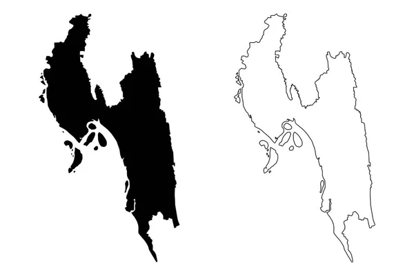
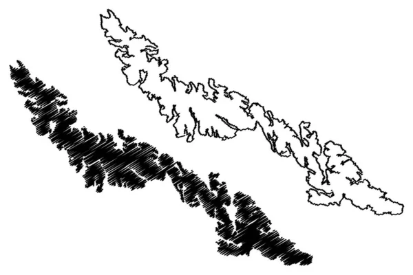
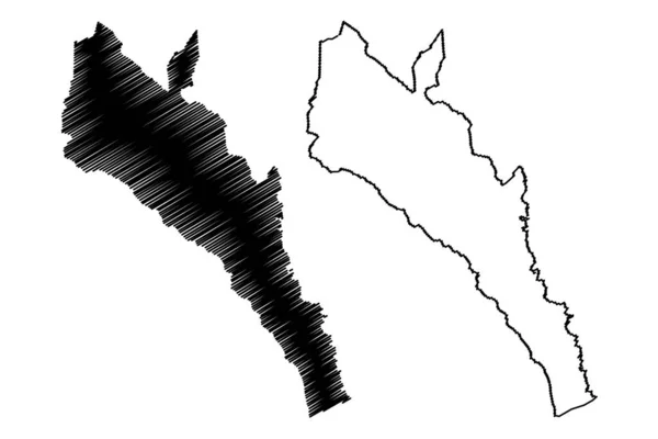
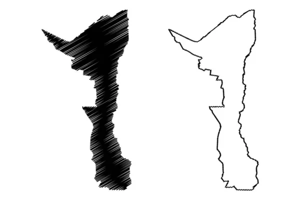
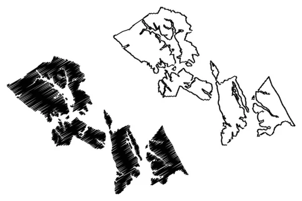
Stock vector City and Borough of Sitka, Alaska (Boroughs and census areas in Alaska, United States of America,USA, U.S., US) map vector illustration, scribble sketch Novo-Arkhangelsk or New Archangel map

Published: Oct.15, 2019 08:08:33
Author: Danler
Views: 2
Downloads: 0
File type: vector / eps
File size: 0.84 MB
Orginal size: 7087 x 4726 px
Available sizes:
Level: bronze