Home
Images
Vectors
Videos
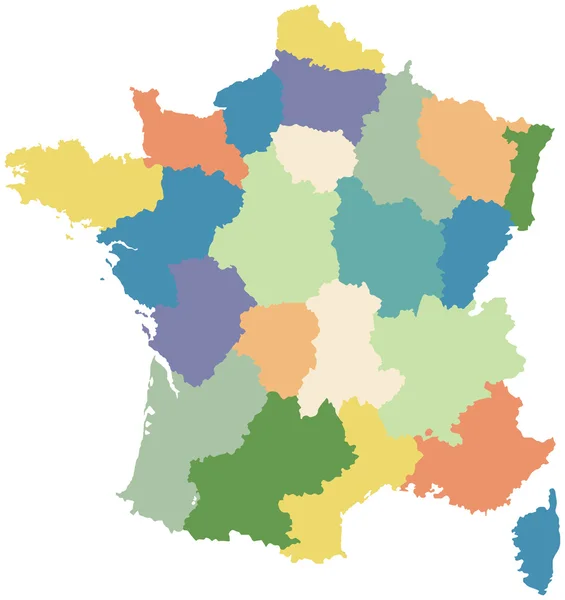
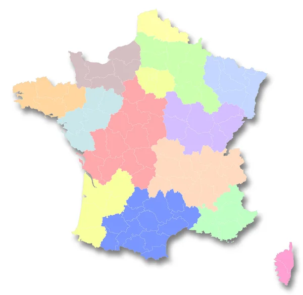
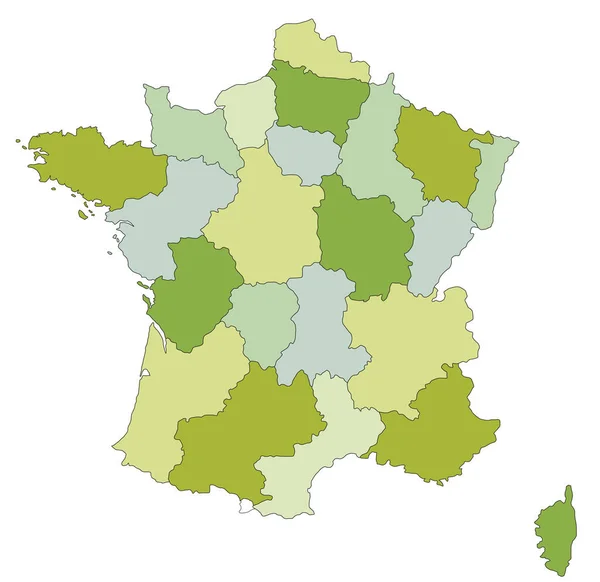
Stock vector colorful map of France (all regions on separate layers)
Published:
Oct.12, 2015 15:06:51
Author:
chrupka
Views:
54
Downloads:
0
File type:
vector
/
eps
File size:
2.63 MB
Orginal size:
4000
x
4000
px
Available sizes:
S
(500 x 500)
M
(1000 x 1000)
L
(2000 x 2000)
XL
(4000 x 4000)
VECT
(4000 x 4000)
EL0
(4000 x 4000)
Level:
silver
Download Vector
Vector topics:
Vector
Colorful
Generated
Graphic
Illustration
Isolated
Art
Travel
Sea
European
French
Silhouette
Symbol
Icon
Flat
Contour
Education
Earth
Digitally
France
Surface
Science
Detailed
North
Europe
South
Outline
Country
District
Map
Cartography
Geography
Land
Mediterranean
Borders
Island
Paris
Region
Central
Corsica
France Map
France Vector Map
Similar stock vectors
France - Highly Detailed Editable Political Map.
4787 × 4649
Map Of France Divided Into Regions
2992 × 3175
Colorful Map Of France (all Regions On Separate Layers)
4000 × 4000
A Map Of France
4100 × 4040
Map Of New Regions Of France
4362 × 4250
Vector Blank Map Of France With Regions And Territories And Administrative Divisions. Editable And Clearly Labeled Layers.
4000 × 4700
France Map Colorful Country Icon
4521 × 4521
Highly Detailed Editable Political Map With Separated Layers. France.
4787 × 4649