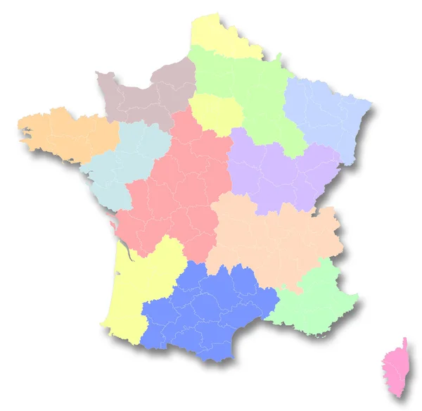
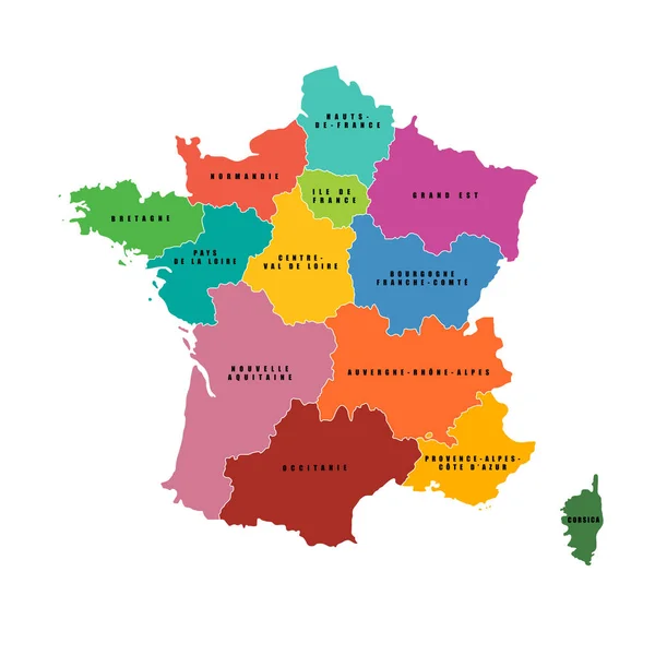
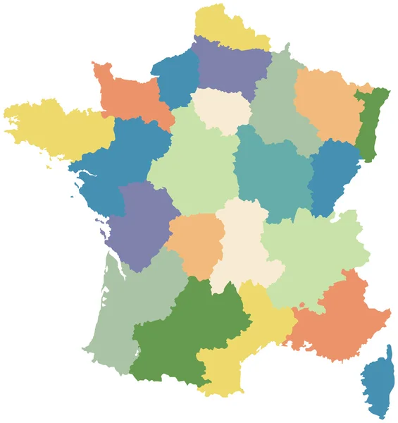
Stock vector Map of France divided into regions
Published: Feb.14, 2012 19:00:19
Author: adroach
Views: 2224
Downloads: 9
File type: vector / eps
File size: 0.3 MB
Orginal size: 2992 x 3175 px
Available sizes:
Level: bronze